Northern Wisconsin
Northern Wisconsin includes extensive forested areas, lakes, and outdoor recreation destinations. County maps can help you locate communities and understand the distribution of counties across this part of the state.

Explore Wisconsin’s county boundaries, identify individual counties, and understand their locations across the state using a clear map designed to make geographic information easy to navigate.
72 Counties
65,496 sq mi Total Area
54,158 sq mi Land Area
11,339 sq mi Water Area
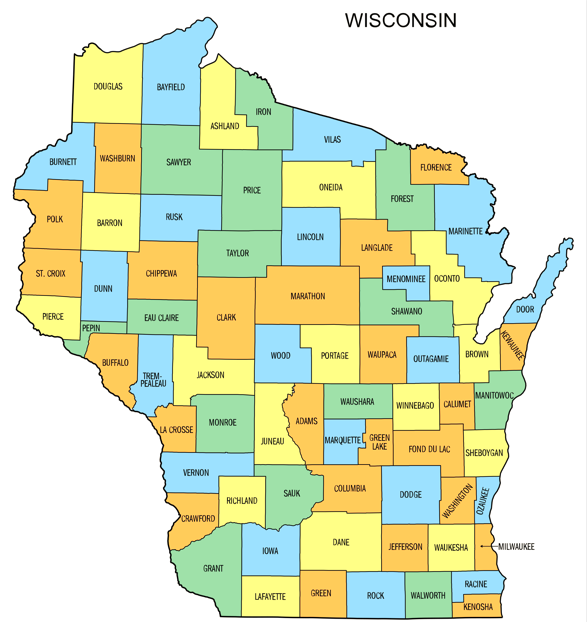
Browse individual Wisconsin county maps to explore local boundaries, identify county locations, and navigate geographic areas across the state with clear, county-specific map views.
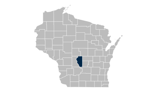
Adams County Map

Ashland County

Barron County

Bayfield County

Brown County

Buffalo County

Burnett County

Calumet County

Chippewa County

Clark County

Columbia County

Crawford County
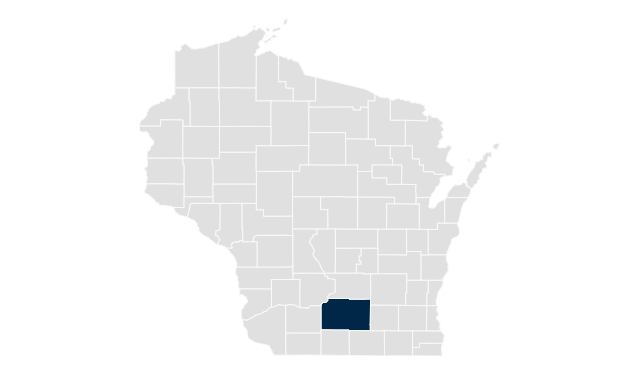
Dane County

Dodge County

Door County

Douglas County

Dunn County

Eau Claire County
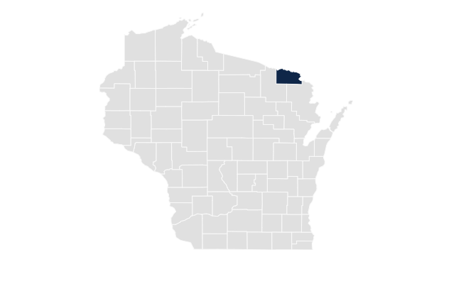
Florence County

Fond du Lac County
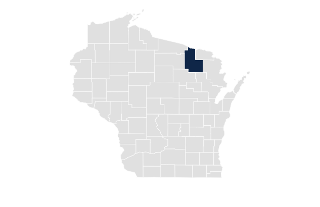
Forest County
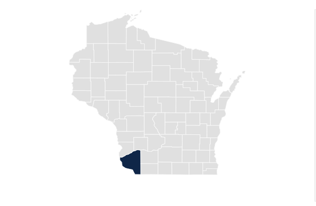
Grant County
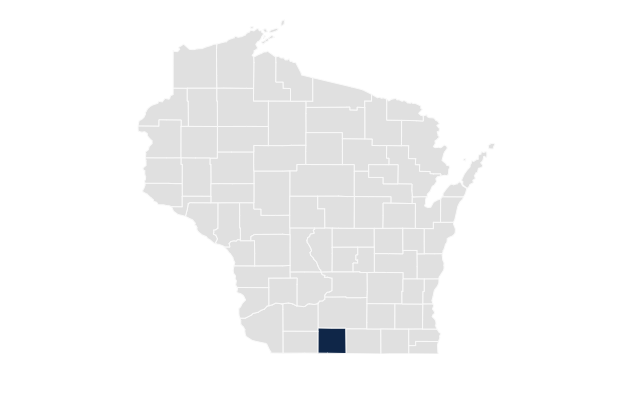
Green County

Green Lake County
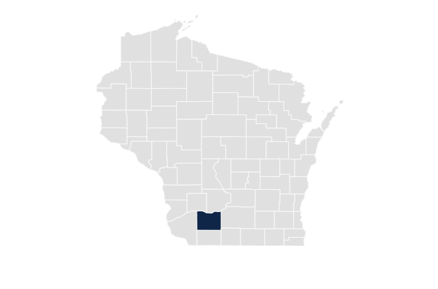
Iowa County
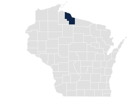
Iron County
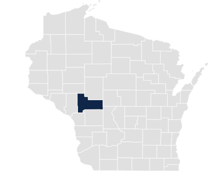
Jackson County

Jefferson County
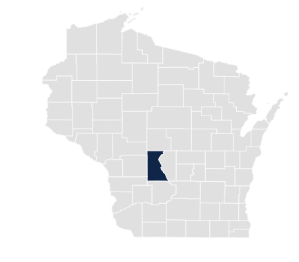
Juneau County

Kenosha County
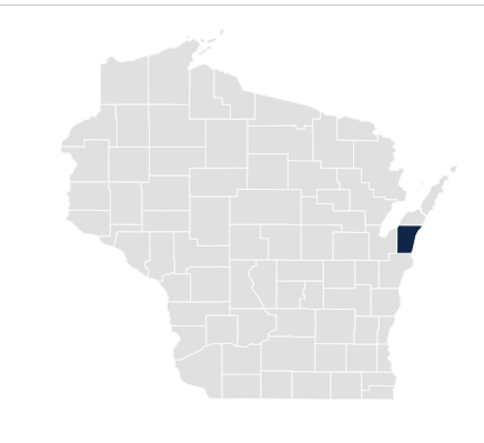
Kewaunee County

La Crosse County
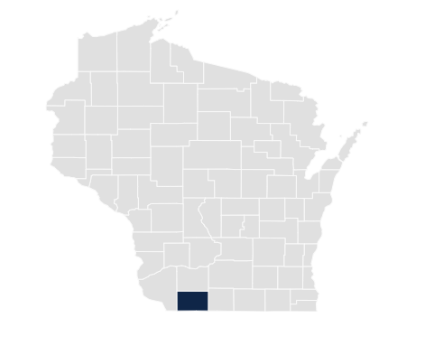
Lafayette County

Langlade County

Lincoln County
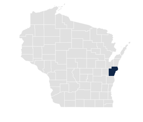
Manitowoc County
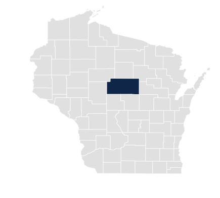
Marathon County

Marinette County

Marquette County

Menominee County
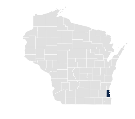
Milwaukee County
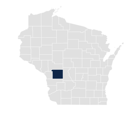
Monroe County

Oconto County
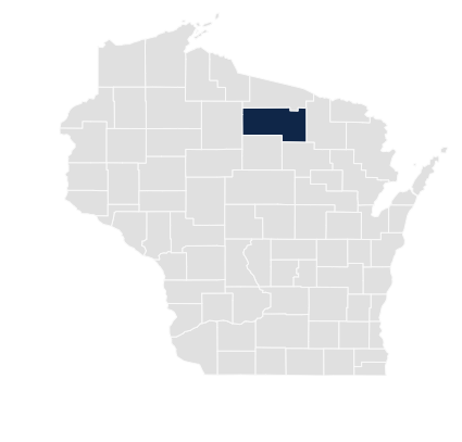
Oneida County

Outagamie County

Ozaukee County
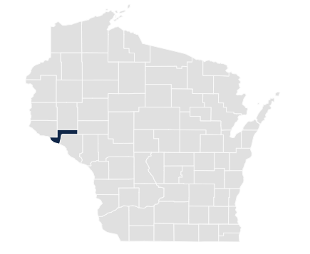
Pepin County
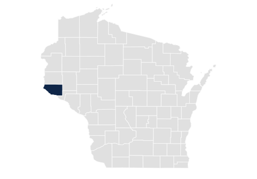
Pierce County
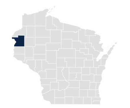
Polk County
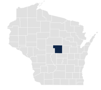
Portage County
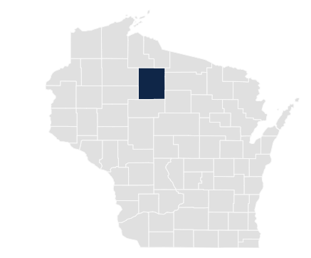
Price County

Racine County

Richland County
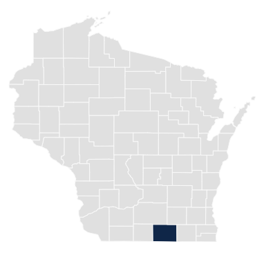
Rock County
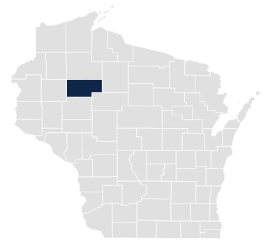
Rusk County

St. Croix County

Sauk County

Sawyer County

Shawano County
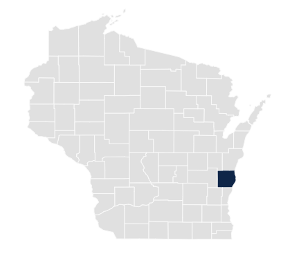
Sheboygan County
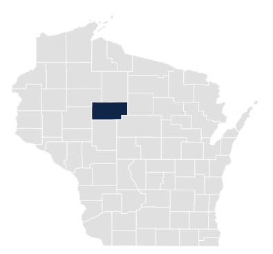
Taylor County

Trempealeau County

Vernon County

Vilas County

Walworth County

Washburn County
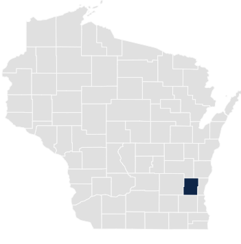
Washington County

Waukesha County

Waupaca County

Waushara County

Winnebago County

Wood County
Explore Wisconsin's counties by their general geographic locations to navigate the statewide map more easily. These broad regional descriptions help you identify areas of interest without replacing official county boundaries.
Northern Wisconsin includes extensive forested areas, lakes, and outdoor recreation destinations. County maps can help you locate communities and understand the distribution of counties across this part of the state.
Central Wisconsin contains a mix of communities, agricultural land, waterways, and wooded landscapes. Use the county directory to identify individual counties and compare their locations on the statewide map.
Eastern Wisconsin extends toward Lake Michigan and includes several major population centers. County maps help visitors locate coastal counties and surrounding inland areas.
Western Wisconsin borders Minnesota and includes areas near the St. Croix and Mississippi rivers. County maps make it easier to identify counties along the state's western edge.
Southern Wisconsin includes a variety of communities, agricultural landscapes, and transportation routes. Explore the county maps to find locations across the southern portion of the state.
Southeastern Wisconsin includes the Milwaukee metropolitan area and counties near the Illinois border. Use individual maps to explore the region's county locations and geographic arrangement.
If you need more detail than a general county outline, consult authoritative Wisconsin mapping resources. These sources can help you find road maps, geographic data, and downloadable map files.
Important: General county maps are intended for geographic reference. For legal property boundaries, land surveys, or official records, contact the appropriate county office or a qualified surveying professional.
Find quick answers about Wisconsin's county map, individual county boundaries, and available map resources.
Wisconsin has 72 counties. You can use the statewide map and individual county map directory to identify each county and understand its location within the state.
Yes. Browse the individual county maps on this page to view county-specific geographic outlines. The available level of detail depends on the image or mapping source used for each county.
Printing options depend on the source. Official downloadable PDF maps may be printed for reference. Check the source's usage terms before reproducing or redistributing a map.
A county map primarily helps identify county locations and boundaries. A road map emphasizes highways, local roads, routes, and communities. Some official maps combine both types of information.
The Wisconsin Department of Transportation publishes county road maps through its official website. These maps can provide more transportation detail than a simple county outline.
General county maps should not be used to establish exact property boundaries. Consult official parcel records and a licensed surveyor when precise legal boundary information is required.