
Grant County, Wisconsin Property Records Search
Search Grant County property records by owner name, parcel number, property address, ZIP code, city name, or advanced criteria to locate ownership, parcel, assessment, tax, and location information.
Total Parcels
48,762
Municipalities
52
Matched Addresses
31,181
Matched Buildings
52,579
Standardized Zoning
25,047
Explore More Grant County Property Tools
Property research can involve several connected questions after you locate a parcel. These resources can help you move from a basic lookup into taxes, transfers, mapping, zoning, and more detailed property research.
Property Tax Calculator
Estimate property-tax amounts and explore how assessed property values relate to potential local tax obligations.
Property Tax Rates
Check current Grant County tax rates and see how local taxing jurisdictions can affect your property's annual tax bill.
Transfer Fee Calculator
Review transfer-related calculations when researching a sale, conveyance, or change in property ownership.
County Map
Explore parcel locations, roads, municipal boundaries, waterways, and other geographic features across the county.
Zoning Information
Find zoning-related resources and identify where to verify land-use rules for a particular parcel.
Grant County Real Property Lister and Land Information
Grant County’s property-record system is supported by its Real Property Lister, County Clerk, Treasurer, and Land Information functions. The Real Property Lister maintains parcel-related information, while the county’s land-information program supports GIS, mapping, surveying, and other property-data activities. Grant County also operates a public Land Records Web Portal for parcel research.
- (608) 723-2666
- thamptom@co.grant.wi.gov
- 111 S. Jefferson Street, Lancaster, WI 53813
- Monday–Friday, 8:00 AM–4:30 PM
- Records Maintained: Tax Records & Assessed Values
- Tax Services: Second Installment & Delinquent Real Estate Taxes
Grant County Real Estate Statistics
Local housing statistics add context to an individual property record by showing typical home values, ownership patterns, housing costs, rental prices, income, and recent construction activity.
Home Value
Typical owner-occupied home value
Homeownership Rate
Owner-occupied housing share
Median Household Income
Median household income
Monthly Mortgage Cost
Median cost with mortgage
Median Gross Rent
Typical monthly gross rent
Building Permits
Permits issued during 2025
How to Search Grant County Property Records for Free
Start with the information you already have instead of trying to identify every detail about a property first. A parcel number can provide a highly specific match, while an owner’s name, street address, ZIP code, or municipality can be more convenient for initial research.
Search by owner name when you know the individual or organization associated with the property but lack a parcel number. Use the owner’s last and first name when available, then compare the returned properties by address and municipality. This method is particularly useful for locating several parcels connected to one owner, but similar names can produce unrelated results, so verify the property details before proceeding.
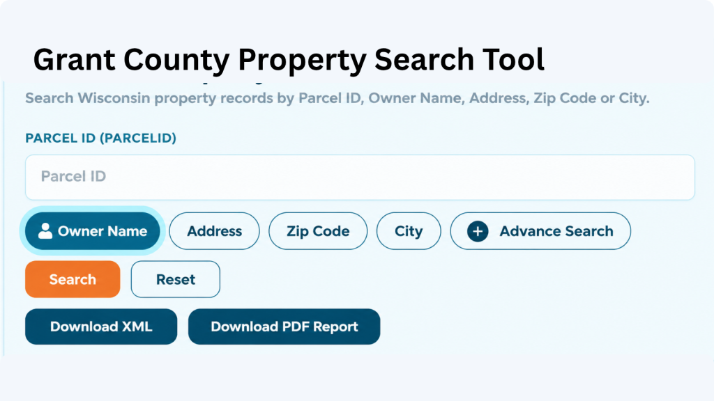
A parcel number is one of the most reliable ways to locate a specific Adams County property record. Enter the parcel number exactly as shown on a tax bill, assessment record, or other property document. Check each digit before searching because one incorrect number can return a different property or no matching result.
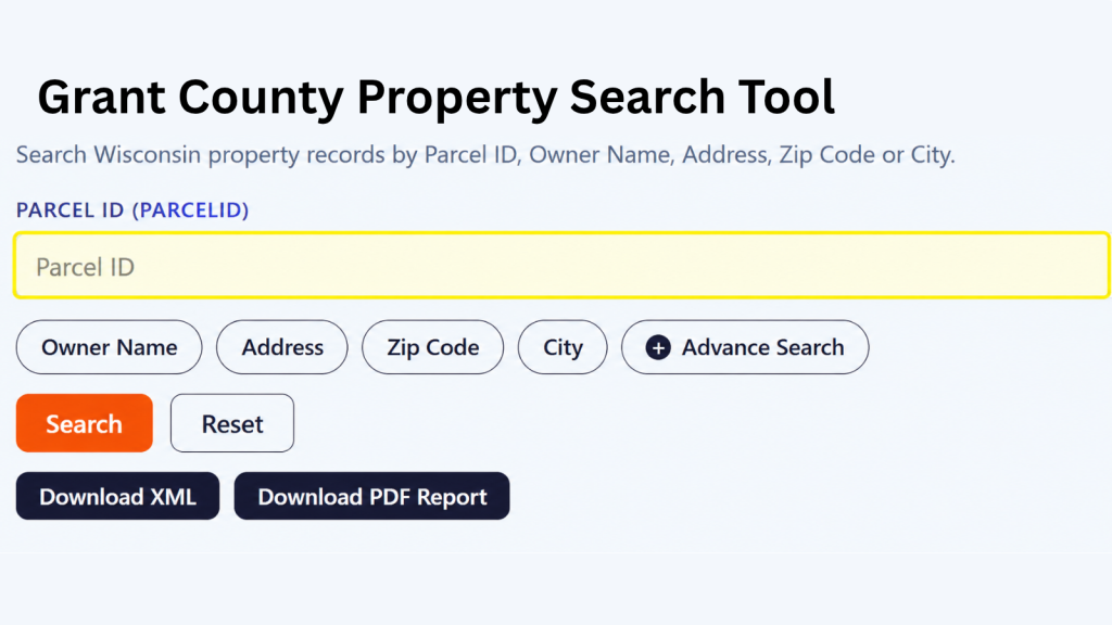
If the property address is available, select the Address option and enter the street information carefully. Include the house number and street name as they appear in the property record. If the property checker does not return the expected result, review the spelling, street abbreviations, and house number before trying again.
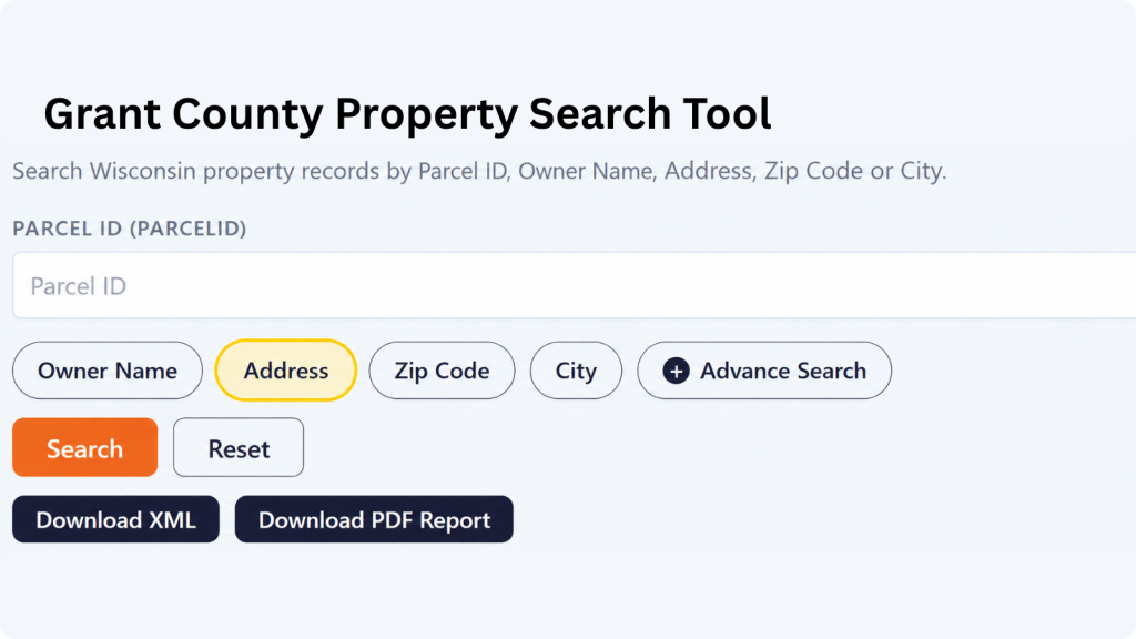
The ZIP Code option can help when you know the property’s general location but do not have its parcel number or complete address. Enter the five-digit ZIP code and review the matching properties. Since multiple parcels can share the same ZIP code, compare the displayed addresses and owner information to identify the correct property.
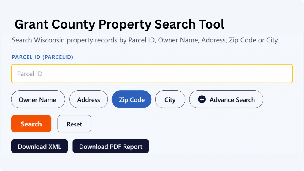
Choose City Name when you know where the property is located but do not have enough information for an address or owner search. Enter the applicable city name and review the available records. The Adams County property search tool can then help narrow the results until you find the property you’re looking for.

Advanced Search is useful when you have several pieces of property information and want to narrow the results. Depending on the available fields, you can use additional details to make the search more specific. Enter only information you know is correct, then review the results carefully before opening a property record.

What Information Can You Find in an Grant County Property Record?
A parcel result can bring together ownership, location, assessment, classification, acreage, tax, and geographic information. Looking at several fields together is often more reliable than judging a property from a single value or address.
Parcel and Tax Identification
The parcel ID provides a specific reference for the property within the land-record system. Grant County’s public portal allows users to search directly by parcel number and also supports alternate parcel numbers. Keeping this identifier with your property notes can make future research faster and help distinguish similar properties.
Property Owner Information
Owner information identifies the name associated with the parcel record. The database can be useful for locating properties connected to a particular person, family, company, or organization. A displayed owner name should be treated as a research reference rather than a substitute for reviewing recorded instruments when you need authoritative proof of title.
Property Address and Location
The site address connects a parcel record with its physical location. It can help confirm that a search result corresponds to the property you have in mind, especially when an owner has several parcels. Street number, street name, municipality, and other location details can be compared together for greater confidence.
Mailing Address
A mailing address can differ from the physical property address. This commonly occurs with rental properties, farmland, vacant land, second homes, and parcels owned by someone who lives elsewhere. Reviewing mailing information alongside the site location can provide useful context about where property-related correspondence is directed.
Assessed Property Values
The record contains several value fields, including county assessed value, land value, improvement value, and MFL value. Looking at these figures separately can help you understand how the property’s assessed amount is represented across land and improvements rather than seeing only one combined property value.
Tax and Assessment Information
Assessment and tax-related fields can show how the parcel is represented for local property taxation. Grant County’s public land-record portal provides parcel searching and identifies current and historical property options. Assessment values should always be interpreted in relation to their applicable tax or assessment year.
Property Classification
Property classification describes the assessment category assigned to a parcel. Wisconsin’s assessment system distinguishes categories such as residential, commercial, manufacturing, agricultural, undeveloped, agricultural forest, forest land, and other property. Grant County’s 2024 assessment summary reports these classifications separately, illustrating the variety of property types represented in the county.
Property Acreage
Acreage gives users a way to compare parcel size and understand the scale of a property. Grant County’s parcel data includes acreage-related information, which can be especially helpful for rural, agricultural, wooded, and recreational properties. GIS-derived acreage should be treated as informational rather than as a legal survey measurement.
Public Land Survey Information
Grant County’s land-record portal includes search options based on the Public Land Survey System, including section, township, and range information. This is particularly useful for rural land research where a conventional street address may be less informative. Researchers working with legal descriptions can use these fields to narrow parcels geographically.
GIS and Parcel Mapping
GIS information places parcels into a geographic framework and can show relationships among property boundaries, roads, municipalities, survey sections, and other mapped features. Grant County maintains a dedicated Tax Parcel Information Map service and a Parcel Explorer application. GIS maps are useful for research but should not be treated as legal surveys.
Areas Covered by the Grant County Property Search Tool
Grant County has an unusually broad municipal structure, with 5 cities, 14 villages, and 33 towns, for a total of 52 municipalities. The property geography therefore extends from larger communities such as Platteville and Lancaster to numerous rural town jurisdictions.
City of Boscobel
City of Cuba City
City of Fennimore
City of Lancaster
Village of Bagley
Village of Bloomington
Village of Blue Rive
Village of Cassville
Village of Dickeyville
Village of Hazel Green
Village of Livingston
Village of Montfort
Village of Mount Hope
Village of Muscoda
Village of Patch Grove
Village of Potosi
Village of Tennyson
Village of Woodman
Town of Bloomington
Town of Beetown
Town of Boscobel
Town of Cassville
Town of Castle Rock
Town of Clifton
Town of Ellenboro
Town of Fennimore
Town of Glen Haven
Town of Harrison
Town of Hickory Grove
Town of Hickory Grove
Town of Jamestown
Town of Liberty
Town of Lima
Town of Little Grant
Town of Marion
Town of Millville
Town of Mount Hope
Town of Mount Ida
Town of Muscoda
Town of North Lancaster
Town of Paris
Town of Patch Grove
Town of Platteville
Town of Potosi
Town of Smelser
Town of South Lancaster
Town of Waterloo
Town of Watterstown
Town of Wingville
Town of Woodman
Town of Wyalusing
About Grant County, Wisconsin
Grant County occupies Wisconsin’s southwestern corner in the Driftless Region, with the Wisconsin River forming its northern boundary and the Mississippi River along the west. Its combination of agricultural land, river valleys, rural towns, and historic communities gives property locations considerable geographic variety.
| County Detail | Grant County | County Detail | Grant County |
|---|---|---|---|
| County Seat | Lancaster | State | Wisconsin |
| Total Population | 52,446 | Land Area | 1,146.88 sq. mi. |
| County FIPS Code | 55043 | Total Area | Approximately 1,183 sq. mi. |
| Median Home Value | $200,700 | Homeownership Rate | 69.8% |
| Median Household Income | $66,858 | Median Monthly Mortgage Cost | $1,495 / month |
| Median Gross Rent | $813 / month | Water Area | Approximately 36.5 sq. mi. |
| Households | 19,960 | Housing Units | 22,632 |
| Population Density | 45.3 / sq. mi. | County Formation | 1836 |
| Number of Municipalities | 52 | Geographic Region | Driftless Region |
| Cities | 5 | Villages | 14 |
| Towns | 33 | 2020 Census Population | 51,938 |
Nearby Wisconsin Counties
Properties near county lines can require research across more than one jurisdiction. Grant County directly borders four Wisconsin counties, while several additional Driftless Region counties are within a reasonable regional search area.
Frequently Asked Questions
How many property parcels are in Grant County?
A current standardized parcel dataset refreshed in July 2026 lists 48,762 parcels for Grant County. County assessment rolls can show different totals because assessment classifications and parcel datasets may use different definitions, dates, or update procedures.
Can I search Grant County land records by section, township, and range?
Yes. Grant County’s public Land Records Web Portal includes Public Land Survey search options for plat information, section, township, and range. This can be particularly helpful when researching rural land without relying entirely on a street address.
Can I find historical property records?
The county’s land-record portal includes an option to include historical properties in searches. This can be useful when researching parcels that have changed, been combined, split, or otherwise moved out of the current property inventory
What does a Grant County parcel number identify?
A parcel number identifies a specific property within the county’s land-record system. It is more precise than a general community or street name and can be useful when comparing assessment records, maps, tax information, or other property documents.
Can I search Grant County properties by municipality?
Yes. The public land-record portal includes a municipality search field. This is useful for narrowing results to a particular city, village, or town, especially when researching a broad area or multiple properties.
Are all properties in Grant County located inside a city or village?
No. Grant County has 33 towns in addition to its five cities and fourteen villages. A substantial portion of the county’s property geography is therefore represented by town jurisdictions and rural areas.
Is Lancaster the largest city in Grant County?
Lancaster is the county seat, but Platteville has a larger population among the county’s incorporated cities. Grant County also includes Boscobel, Cuba City, and Fennimore.
Can a property record tell me exactly where a parcel boundary is?
A parcel map can provide valuable geographic reference, but it should not be treated as a legal boundary survey. Grant County GIS materials identify parcel maps as advisory information, so a professional survey and recorded documents should be used when exact property boundaries matter.
Can I use the property search to research an old property record?
That depends on the records and historical information available in the underlying database. If you are researching an older ownership or property history, verify the information against the appropriate county records or other official documents.
What should I do if the property information looks incorrect?
First, compare the result with your property documents and check that you searched the correct parcel. If something still appears incorrect, contact the appropriate county or municipal office responsible for maintaining that particular record.