
Iowa County Wisconsin Property Records Search
Search Iowa County property records by owner name, parcel number, address, ZIP code, city, or advanced criteria to quickly locate available property information.
Total Parcels
31,733
Municipalities
29
Matched Addresses
16,024
Matched Buildings
27,800
Standardized Zoning
30,048
Explore More Iowa County Property Tools
Property research often involves more than identifying a parcel. These related resources can help you move from a basic lookup toward tax, mapping, zoning, and educational information.
Property Tax Calculator
Estimate property-tax amounts and compare figures while researching ownership and assessment information.
Property Tax Rates
Check current Iowa County tax rates and see how local taxing jurisdictions can affect your property's annual tax bill.
Transfer Fee Calculator
Review transfer-tax calculations when evaluating a property transaction or ownership change.
County Map
Use a county property map to put parcels, roads, communities, and surrounding land into geographic context.
Zoning Information
Explore zoning-related information when researching land use, development possibilities, or property classification.
Iowa County Property Assessment Office
Property assessment information is generally handled at the municipal level in Wisconsin, while county land-information and property-record functions help organize parcel data used for mapping, taxation, and research. Iowa County directs taxpayers who disagree with an assessment to their local assessor. The county’s property-related offices are located at the courthouse in Dodgeville.
- (608) 935-0310
- Scott.Godfrey@iowacounty.org
- 222 N. Iowa St., Dodgeville, WI 53533
- Monday–Friday, 8:00 AM–4:30 PM
- Records Maintained: Tax Records & Assessed Values
- Tax Services: Second Installment & Delinquent Real Estate Taxes
Iowa County Real Estate Statistics
Housing statistics provide useful context when a parcel record is being evaluated alongside the broader local market. The figures below use recent U.S. Census Bureau data, with the applicable period shown rather than presenting different years as though they were one snapshot.
Home Value
Typical owner-occupied home value
Homeownership Rate
Owner-occupied housing share
Median Household Income
Median household income
Monthly Mortgage Cost
Median cost with mortgage
Median Gross Rent
Typical monthly gross rent
Building Permits
Permits issued during 2025
How to Search Iowa County Property Records for Free
Different searches work best depending on what you already know about the parcel. A name can be useful for ownership research, while an exact parcel number is usually more precise. Address, ZIP, city, and advanced criteria provide other ways to narrow a larger property set.
Search by the owner’s name when you are trying to locate property associated with a particular person or organization. Use the name as it appears in the available record when possible, and try alternate spellings if the first search produces no match. This approach can help identify parcels tied to an owner even when you do not know the property’s street address. Review mailing and ownership fields carefully after the search.

A parcel number is one of the most reliable ways to locate a specific Adams County property record. Enter the parcel number exactly as shown on a tax bill, assessment record, or other property document. Check each digit before searching because one incorrect number can return a different property or no matching result.

If the property address is available, select the Address option and enter the street information carefully. Include the house number and street name as they appear in the property record. If the property checker does not return the expected result, review the spelling, street abbreviations, and house number before trying again.
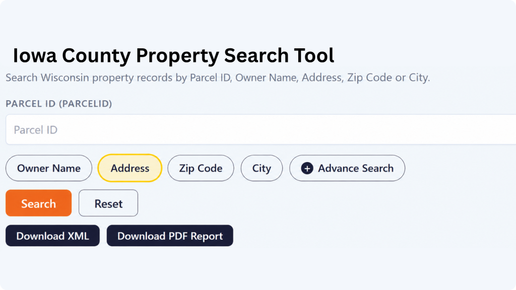
The ZIP Code option can help when you know the property’s general location but do not have its parcel number or complete address. Enter the five-digit ZIP code and review the matching properties. Since multiple parcels can share the same ZIP code, compare the displayed addresses and owner information to identify the correct property.
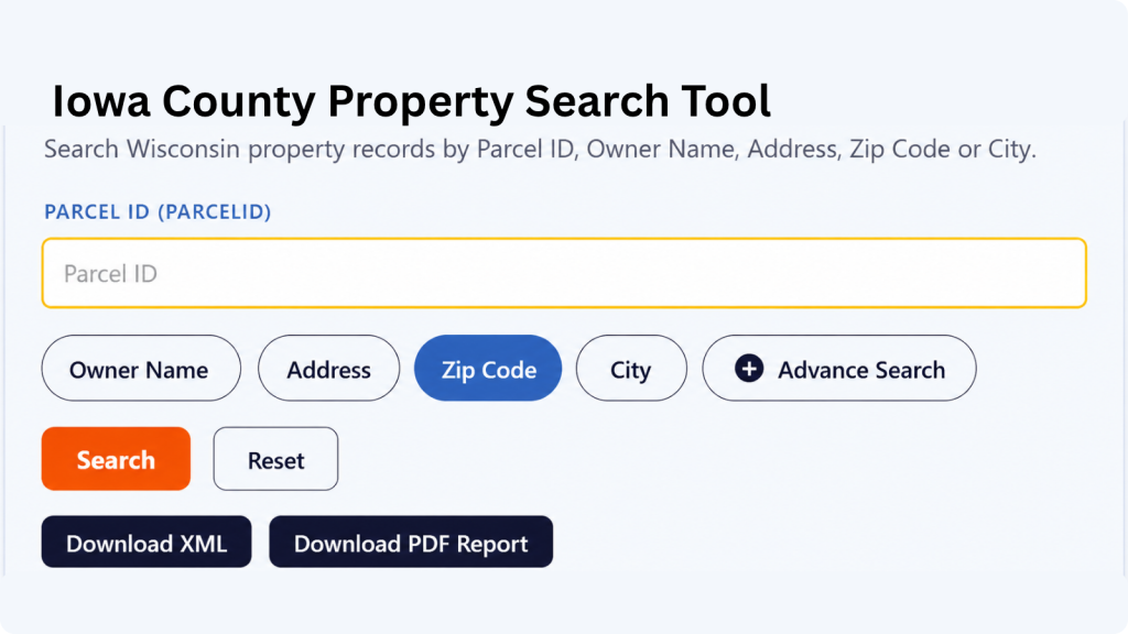
Choose City Name when you know where the property is located but do not have enough information for an address or owner search. Enter the applicable city name and review the available records. The Adams County property search tool can then help narrow the results until you find the property you’re looking for.

Advanced Search is useful when you have several pieces of property information and want to narrow the results. Depending on the available fields, you can use additional details to make the search more specific. Enter only information you know is correct, then review the results carefully before opening a property record.

What Information Can You Find in an Iowa County Property Record?
A property record can bring together several kinds of information, from the parcel’s identifying number and location to ownership, assessment, acreage, classification, and geographic details. The exact fields available depend on the underlying record and data coverage.
Parcel and Tax Identification
The parcel ID and related tax-parcel identifiers give a property a record-level identity within the dataset. These identifiers are particularly useful when several properties have similar addresses or when owner names have changed. Wisconsin’s statewide parcel-data standards include identifiers such as parcel ID, tax parcel ID, parcel date, and tax-roll year.
Property Owner Information
Ownership-related fields can show the primary owner and, where available, additional ownership or mailing information. A mailing address may differ from the physical location of the property, particularly for landlords, agricultural landowners, businesses, trusts, or owners who live elsewhere. Treat the displayed ownership information as record data rather than assuming it proves current legal title.
Property Address and Location
The site address identifies where the parcel or improvement is physically located. Address components may include a house number, street name, street type, unit information, place name, ZIP code, and state. Standardized address fields can make searches easier when the same location appears in different forms across records.
Parcel Location
Location information can help distinguish parcels that share similar names or mailing addresses. A record may identify the municipality, place, ZIP code, school district, or other geographic context. For rural Iowa County properties, these location fields can be especially useful because a parcel may be associated with a town while using a nearby community’s postal address.
Assessed Property Values
The record contains several value fields, including county assessed value, land value, improvement value, and MFL value. Looking at these figures separately can help you understand how the property’s assessed amount is represented across land and improvements rather than seeing only one combined property value.
Land and Improvement Values
Some records separate the value attributed to land from the value attributed to improvements. This distinction can help explain how the total assessed figure is constructed. For example, a parcel with substantial acreage may have a relatively large land component, while a developed residential or commercial property may show a significant improvement component. The underlying assessment methodology remains a matter for the appropriate assessor.
Property Classification
Property-class information helps distinguish the general type or assessment category assigned to a parcel. Depending on the record, classifications can help separate residential, agricultural, commercial, manufacturing, or other property categories. Classification should not automatically be interpreted as zoning. Zoning and assessment classification are related to different regulatory or administrative purposes
Property Acreage
A record may contain more than one acreage measurement, including assessed acres, deeded acres, or GIS-derived acres. These values can differ because they originate from different sources or calculation methods. For land research, compare the acreage field with the legal description or recorded documents when an exact legal area is important rather than assuming every acreage figure represents the same measurement.
School District Information
School-district information can add useful location context to a parcel, particularly for residential research. Iowa County includes property interests associated with several school districts, and district boundaries can cross municipal lines. A school-district field should therefore be read as a geographic assignment in the property dataset rather than as a description of the property’s municipal government.
Geographic Coordinates and Mapping
Latitude and longitude can help place a parcel on a map and connect tabular property information with GIS-based research. Coordinates are useful for visual orientation, nearby-property comparisons, and geographic analysis, but they should not be treated as a legal survey of the property boundary. Parcel maps are generally research tools rather than substitutes for a professional land survey.
Areas Covered by the Iowa County Property Search Tool
The property database spans Iowa County’s cities, villages, and towns, allowing searches to extend beyond a single community. The county has two incorporated cities, multiple villages, and fourteen towns, with some communities or postal areas extending beyond county boundaries.
City of Dodgeville
Cityof Mineral Point
Village of Arena
Village of Avoca
Village of Barneveld
Village of Cobb
Village of Highland
Villageof Hollandale
Village of Linden
Village of Livingston
Village of Montfort
Village of Muscoda
Village of Rewey
Village of Ridgeway
Town of Arena
Town of Brigham
Town of Clyde
Town of Dodgeville
Town of Eden
Town of Highland
Town of Linden
Town of Mifflin
Town of Mineral Point
Town of Moscow
Town of Pulaski
Town of Ridgeway
Town of Waldwick
Town of Wyoming
Iowa County, Wisconsin Information
Located in southwest Wisconsin, Iowa County combines the historic communities of the state’s Lead Region with rolling Driftless Area terrain. Dodgeville serves as the county seat, while the county’s geography includes major rivers, watersheds, elevated ridges, and extensive rural land.
| County Detail | Iowa County | County Detail | Iowa County |
|---|---|---|---|
| County Seat | Dodgeville | State | Wisconsin |
| FIPS Code | 55049 | County Formation | 1829 |
| Geographic Region | Southwest Wisconsin | Geographical Province | Western Upland |
| 2020 Census Population | 23,709 | 2025 Population Estimate | 23,951 |
| Total Area | 768 sq. mi. | Land Area | 762.7 sq. mi. |
| Water Area | About 5 sq. mi. | Population Density | 31.1 people / sq. mi. in 2020 |
| Households | 10,118 (2020–2024) | Average Household Size | 2.33 persons (2020–2024) |
| ZIP/ZCTA Coverage | 11 Census ZCTAs reported for 2025 | Highest Listed Elevation | 1,719 ft. at Blue Mound |
| Dodgeville Elevation | 1,222 ft. | Major Transportation Corridor | USH 18/151 corridor |
| Major Rivers | Blue, Pecatonica, Wisconsin, and Yellowstone Rivers | ||
| Major Watersheds | Rock River, Wisconsin River, and Mississippi River | ||
Nearby Wisconsin Counties
Property research often crosses county boundaries, especially when a parcel, owner, mailing address, or transaction involves neighboring communities. Iowa County directly borders six Wisconsin counties, making these nearby property-record pages useful starting points for surrounding searches.
Frequently Asked Questions
Can I search Iowa County property records by an owner's name?
Yes. An owner-name search is useful when you know the person or organization associated with a property but do not have the parcel number or complete street address. Try alternate name formats when the first search does not produce the expected record.
What is the best way to find a specific parcel?
A parcel number is generally the most precise starting point when you already have one. If you do not, an exact property address can be a strong alternative. Once a result is found, compare the parcel identifier, owner, location, and other available fields.
Are Iowa County property records the same as a deed?
No. A property-record search result and a recorded deed serve different purposes. A parcel record can provide ownership, assessment, location, and tax-related information, while a deed is a recorded legal instrument documenting a conveyance or other interest in real property.
Why might a property's mailing address be different from its site address?
The mailing address identifies where correspondence is sent, while the site address identifies the physical property location. An owner may live elsewhere, use a business address, own rental property, or receive mail through another location.
Can I find rural properties without a conventional street address?
Often, yes. Rural parcels can sometimes be located more effectively through a parcel number, owner name, municipality, ZIP code, or other available criteria. Acreage and location information can then help distinguish one rural parcel from another.
Does an assessed value tell me what a property will sell for?
Not necessarily. An assessed value is an assessment figure used within the property-tax system and should not automatically be treated as the property’s current market price. A sale price, appraisal, and assessed value can differ for legitimate reasons.
Why do acreage figures sometimes differ between property records?
Different acreage fields may come from different sources or calculation methods. Deeded acreage, assessed acreage, and GIS-derived acreage can therefore show different figures. For a legal boundary or exact land-area question, consult the relevant recorded documents or a qualified land professional.
Can I use a property record to determine zoning?
A property record may contain classification or zoning-related information when that data is available, but assessment classification is not automatically the same as zoning. For a land-use decision, verify the applicable zoning information with the appropriate local planning or zoning authority.
Does Iowa County have one assessor for every property?
No. Property assessment responsibilities are handled through local municipal assessors rather than one universal county assessor. Iowa County’s tax guidance specifically advises taxpayers who disagree with an assessment to contact their local assessor.
What counties should I check if a property is near Iowa County's boundary?
The most relevant neighboring counties are Dane, Green, Lafayette, Grant, Richland, and Sauk. Checking those counties can be useful when a mailing address, parcel boundary, municipality, or nearby property appears to fall outside Iowa County.