
Jackson County, Wisconsin Property Records Search
Search Jackson County property records by Owner Name, Parcel Number, Property Address, ZIP Code, City Name, or Advanced Search to find parcel, ownership, assessment, location, and other property information.
Total Parcels
27,000
Municipalities
27
Matched Addresses
12,814
Matched Buildings
28,539
Standardized Zoning
25,583
Explore More Jackson County Property Tools
A parcel lookup is often only one step in property research. These related resources can help you continue with taxes, mapping, zoning, transfer questions, or general property research.
Property Tax Calculator
Estimate property-tax costs using the relevant property information and tax assumptions.
Property Tax Rates
Check current Jackson County tax rates and see how local taxing jurisdictions can affect your property's annual tax bill.
Transfer Fee Calculator
Review potential transfer-tax calculations when evaluating a property transaction or ownership transfer.
County Map
Explore communities, roads, geographic features, and property locations with a dedicated county map.
Zoning Information
Research land-use and zoning resources when evaluating development possibilities or property restrictions.
Property Assessment and Land Information Contacts
Jackson County’s Real Property Division supports assessment and taxation administration by preparing work rolls, entering assessor-provided valuation changes, preparing assessment rolls, producing tax bills, and helping the public locate property information. Individual property assessments are handled through municipal assessors.
- (715) 284-0203
- April.Riley@Jacksoncountywi.gov
- Jackson County Courthouse, 307 Main Street, Suite B03, Black River Falls, WI 54615
- Monday–Friday, 8:00 AM–4:30 PM
- Records Maintained: Tax Records & Assessed Values
- Tax Services: Second Installment & Delinquent Real Estate Taxes
Jackson County Real Estate Statistics
Countywide housing figures provide useful context when a parcel search is part of a larger market or ownership review. The following figures come from the U.S. Census Bureau’s current QuickFacts data and use the stated 2020–2024 or 2025 reference periods
Home Value
Typical owner-occupied home value
Homeownership Rate
Owner-occupied housing share
Median Household Income
Median household income
Monthly Mortgage Cost
Median cost with mortgage
Median Gross Rent
Typical monthly gross rent
Building Permits
Permits issued during 2025
How to Search Jackson County Property Records for Free
Start with the piece of information you already know rather than trying to reconstruct the entire property record first. An exact parcel number is usually highly specific, while names, addresses, ZIP codes, and municipalities can be better starting points for broader searches.
Start with the piece of information you already know rather than trying to reconstruct the entire property record first. An exact parcel number is usually highly specific, while names, addresses, ZIP codes, and municipalities can be better starting points for broader searches.
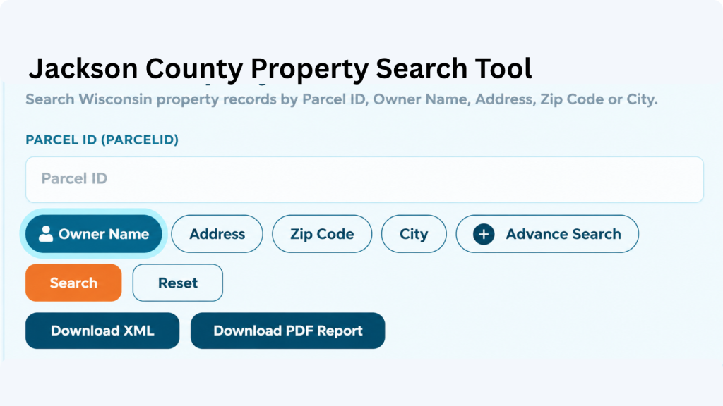
A parcel number is one of the most reliable ways to locate a specific Adams County property record. Enter the parcel number exactly as shown on a tax bill, assessment record, or other property document. Check each digit before searching because one incorrect number can return a different property or no matching result.

If the property address is available, select the Address option and enter the street information carefully. Include the house number and street name as they appear in the property record. If the property checker does not return the expected result, review the spelling, street abbreviations, and house number before trying again.

The ZIP Code option can help when you know the property’s general location but do not have its parcel number or complete address. Enter the five-digit ZIP code and review the matching properties. Since multiple parcels can share the same ZIP code, compare the displayed addresses and owner information to identify the correct property.

Choose City Name when you know where the property is located but do not have enough information for an address or owner search. Enter the applicable city name and review the available records. The Adams County property search tool can then help narrow the results until you find the property you’re looking for.
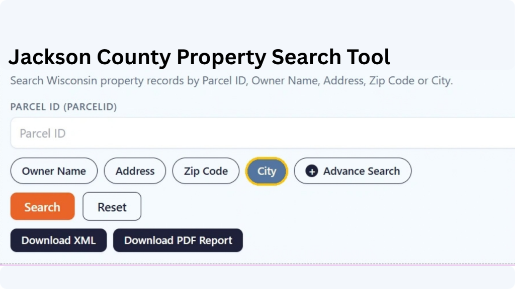
Advanced Search is useful when you have several pieces of property information and want to narrow the results. Depending on the available fields, you can use additional details to make the search more specific. Enter only information you know is correct, then review the results carefully before opening a property record.
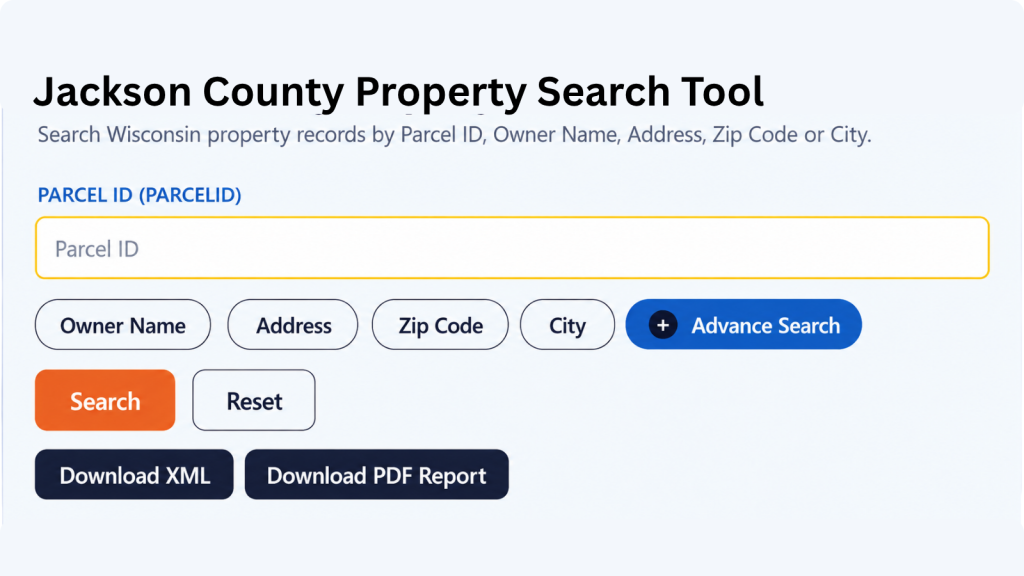
What Information Can You Find in an Jackson County Property Record?
A parcel record can answer several different questions at once: Which property is this? Who is associated with it? Where is it located? How is it classified? What assessment information is available? Geographic and tax-related fields can add useful context to the basic parcel identification.
Parcel and Tax Identification
A parcel ID gives the record a distinct reference that can be retained for future research. It is useful when comparing information across property searches because addresses, mailing information, and ownership details can change while the parcel identifier remains the principal reference used by the property database.
Property Owner Information
Owner fields identify the person or entity associated with a property record. A mailing address may accompany the owner’s name and can differ from the physical property location. That distinction is particularly useful for second homes, agricultural land, rental properties, businesses, and parcels owned by people who live outside the county.
Property Address and Location
The site address describes the property’s physical location, whereas a mailing address describes where correspondence is directed. Looking at both fields can help determine whether the record corresponds to the building or land you are researching, especially when a rural property has an owner mailing address in another community.
Parcel Location
Location information can identify the municipality, community, ZIP code, or other geographic reference associated with a parcel. Jackson County’s extensive rural area makes these distinctions useful because a postal community, town boundary, and physical road location do not always tell exactly the same story.
Tax Roll Information
Tax-roll information indicates the assessment or taxation period represented by the record. It can help establish the timing of information in a database, but it should not automatically be interpreted as the current balance due. For current taxes, delinquency status, or payment arrangements, use the appropriate county or municipal tax authority.
Estimated Market and Property Tax Values
Assessment-related values provide a way to understand how a parcel is represented in the property-tax system. They can support comparisons between properties, but an assessed value should not be presented as a guaranteed sale price, appraisal, or real-time market valuation.
Property Classification
Property-class information describes the category assigned to a parcel within the assessment data. It can help distinguish different types of property for research purposes. Classification alone does not establish zoning, building rights, or every permitted use; those questions may require review of applicable municipal or county land-use regulations.
Property Acreage
Acreage fields can provide a useful indication of the size of a parcel. Depending on the database, assessed, deed, and GIS acreage may be represented separately. Those measurements can differ because they serve different purposes, so acreage displayed in a property database should not replace a legal description or professional survey.
School District Information
The property record includes the school district name and school district number associated with the parcel. This can be useful when researching a property’s local area, especially when comparing properties that may have different school district assignments despite being relatively close to one another.
Geographic Coordinates
Latitude and longitude give a geographic reference that can be useful with mapping applications and GIS data. Coordinates help users visualize a parcel’s position relative to roads, waterways, communities, and surrounding properties, but they should not be interpreted as a legally surveyed property boundary.
Areas Covered by the Jackson County Property Search Tool
Jackson County’s property landscape includes a single incorporated city, five villages, and 21 towns. That structure covers both the Black River Falls area and a large rural territory extending across central Wisconsin, so municipality information can be valuable when reviewing a parcel’s jurisdiction
City of Black River Falls
Town of Adams
Town of Albion
Town of Alma
Town of Bear Bluff
Town of Brockway
Town of City Point
Town of Cleveland
Town of Curran
Town of Franklin
Town of Garden Valley
Town of Garfield
Town of Hixton
Town of Irving
Town of Knapp
Town of Northfield
Town of Springfield
Village of Alma Center
Village of Hixton
Village of Melrose
Village of Merrillan
Village of Taylor
Town of Komensky
Town of Manchester
Town of Melrose
Town of Millston
Town of North Bend
About Jackson County, Wisconsin
Jackson County occupies a central-western position in Wisconsin along the Interstate 94 corridor. Black River Falls serves as the county seat, and the county combines agricultural land, extensive forest holdings, rural communities, and outdoor recreation areas.
| County Detail | Jackson County | County Detail | Jackson County |
|---|---|---|---|
| County Seat | Black River Falls | State | Wisconsin |
| FIPS Code | 55053 | County Formation | 1853 |
| 2025 Population Estimate | 20,999 | 2020 Census Population | 21,145 |
| 2010 Census Population | 20,449 | Land Area | 987.92 sq. mi. |
| Approx. Total Area | 1,000 sq. mi. | Population Density | 21.4 people / sq. mi. in 2020 |
| Municipalities | 27 | Towns | 21 |
| Villages | 5 | Cities | 1 |
| Approx. Parcels | 27,000 | 2020–2024 Households | 8,274 |
| Persons per Household | 2.38 (2020–2024) | Median Household Income | $68,110 (2020–2024) |
| Median Owner-Occupied Home Value | $196,100 (2020–2024) | Major Interstate | Interstate 94 |
| Major Waterway | Black River | Major Forest Area | Black River State Forest |
| School Districts | 10 | Major Community | Black River Falls |
Nearby Wisconsin Counties
Properties near a county boundary can sometimes require research across more than one jurisdiction. Jackson County borders seven Wisconsin counties, making neighboring property databases useful when a parcel, mailing address, or landholding extends close to another county.
Frequently Asked Questions
1. How many parcels are in Jackson County, Wisconsin?
Jackson County’s Real Property Lister reports approximately 27,000 parcels of land. The number is an approximate county fast-fact figure rather than a live count of records currently returned by a particular search.
2. Who maintains Jackson County property information?
The county’s Real Property Division maintains property-related assessment and taxation records and assists the public with locating property information. The GIS division also provides mapping and land-use information through the county’s property mapping resources.
3. Can I search a Jackson County parcel without knowing the owner's name?
Yes. A parcel number, street address, ZIP code, city or municipality, or available advanced-search criteria can provide an alternative starting point. The most useful option depends on what information you already have
4. Is Black River Falls the only city in Jackson County?
Yes. Black River Falls is the county’s only incorporated city. Jackson County also contains five villages and 21 towns
5. What is the difference between a town and a village in the county?
Both are Wisconsin municipal governments, but they are distinct classifications. Jackson County has 21 towns and five villages, in addition to the City of Black River Falls. This distinction can matter when determining which local government or assessor handles a property.
6. Can a property record show the current tax amount?
Property and tax databases can provide assessment and tax-bill information, but the exact information and timing depend on the record. Jackson County’s public portal provides tax amounts, assessment data, and tax bills, while current payment questions can be directed to the Treasurer or appropriate municipal office.
7. Does a parcel record prove who legally owns a property?
A property database can identify the owner information associated with its records, but it should not be treated as a substitute for examining recorded legal documents when ownership must be established conclusively. The Register of Deeds is the appropriate source for recorded real-estate instruments.
8. Can I use Jackson County GIS information to locate a rural property?
Yes. The county’s GIS division provides mapping, aerial imagery, property, addressing, and land-use information. Its addressing program also handles residential 911 addressing in unincorporated areas and villages.
9. Does property classification tell me what I can build?
Not by itself. Assessment classification and zoning serve different purposes. Jackson County regulates zoning in participating townships, while certain municipalities maintain their own land-use plans. A proposed use should therefore be checked against the applicable zoning authority.
10. Which counties should I check for a property near Jackson County?
The closest jurisdictional alternatives are Clark, Eau Claire, Trempealeau, La Crosse, Monroe, Wood, and Juneau counties, all of which border Jackson County. For a Wisconsin-only nearby-county search, any of these can be a logical next step depending on the property’s location.