
Monroe County Wisconsin Property Records Search
Search Monroe County property records by Owner Name, Parcel Number, Property Address, ZIP Code, City Name, or Advanced Search to find parcel, ownership, assessment, location, and land information.
Total Parcels
39,364
Municipalities
34
Matched Addresses
24,809
Matched Buildings
46,818
Related Monroe County Property Resources
Property research may continue beyond a parcel lookup. These related resources can help you investigate taxes, transfers, maps, zoning, and educational material after identifying a property.
Property Tax Calculator
Review property-tax calculations and use the results as a starting point for property-cost research
Property Tax Rates
Check current Monroe County tax rates and see how local taxing jurisdictions can affect your property's annual tax bill.
Transfer Fee Calculator
Estimate transfer-related amounts when researching a property sale or ownership change
County Map
Use the county map to understand parcel locations, communities, roads, waterways, and surrounding geography
Zoning Information
Review zoning resources when investigating land use, development restrictions, or other parcel-related planning questions.
Monroe County Land Information Office
The Monroe County Land Information Office coordinates geographic information systems and rural addressing and provides access to county GIS, tax and assessment search resources, survey files, and related land information. Its records can help researchers connect a parcel to its mapped location and supporting property information
- (608) 269-8698
- Lucille.Hentzen@co.monroe.wi.us
- 777 S. Black River Street, Suite 2, Sparta, WI 54656
- Monday–Friday, 8:00 AM–4:30 PM
- Records Maintained: Tax Records & Assessed Values
- Tax Services: Second Installment & Delinquent Real Estate Taxes
Monroe County Real Estate Statistics
Housing figures provide useful context for the local property market, particularly in a county that combines the communities of Sparta and Tomah with numerous smaller villages and rural townships. Countywide statistics are broad indicators and should not be interpreted as the value of an individual parcel.
Home Value
Typical owner-occupied home value
Homeownership Rate
Owner-occupied housing share
Median Household Income
Median household income
Monthly Mortgage Cost
Median cost with mortgage
Median Gross Rent
Typical monthly gross rent
Building Permits
Permits issued during 2025
How to Search Monroe County Property Records
The best search method depends on the information already available to you. A parcel number provides precision, while an owner, address, ZIP Code, or municipality can be useful when you are starting with less specific information
An owner-name search is useful when you know who owns the property but lack the parcel number or complete address. It can also help locate more than one parcel associated with the same owner. Use the most accurate spelling available, then compare addresses and parcel identifiers because similar names can produce multiple records
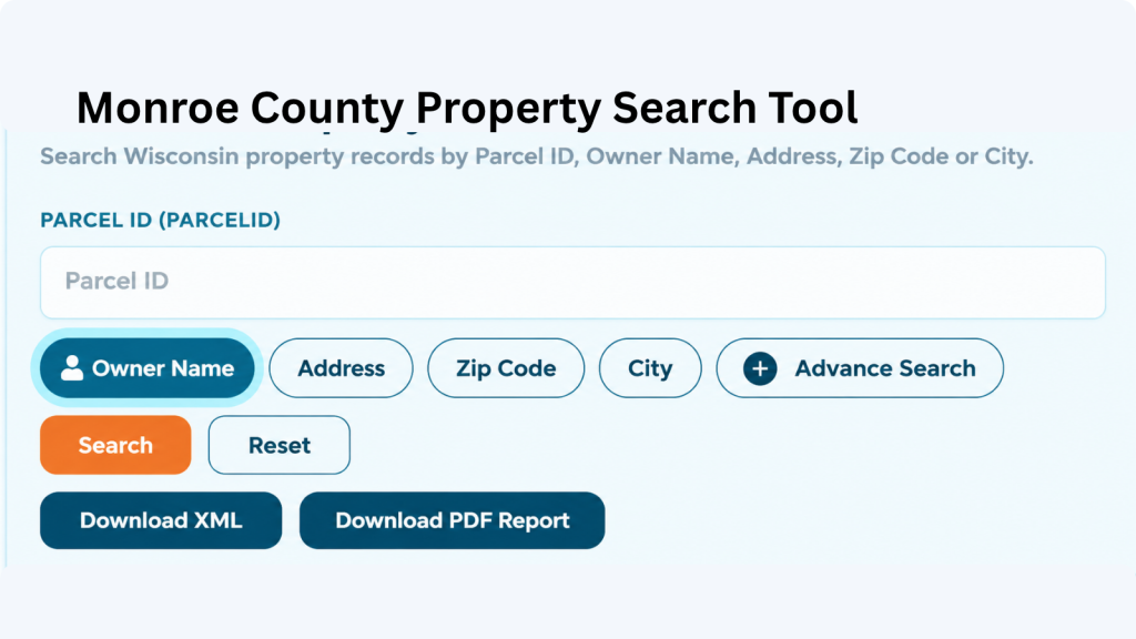
A parcel number is one of the most reliable ways to locate a specific Adams County property record. Enter the parcel number exactly as shown on a tax bill, assessment record, or other property document. Check each digit before searching because one incorrect number can return a different property or no matching result.
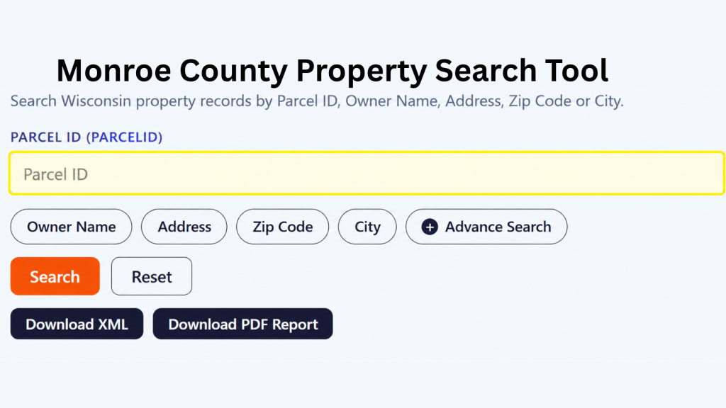
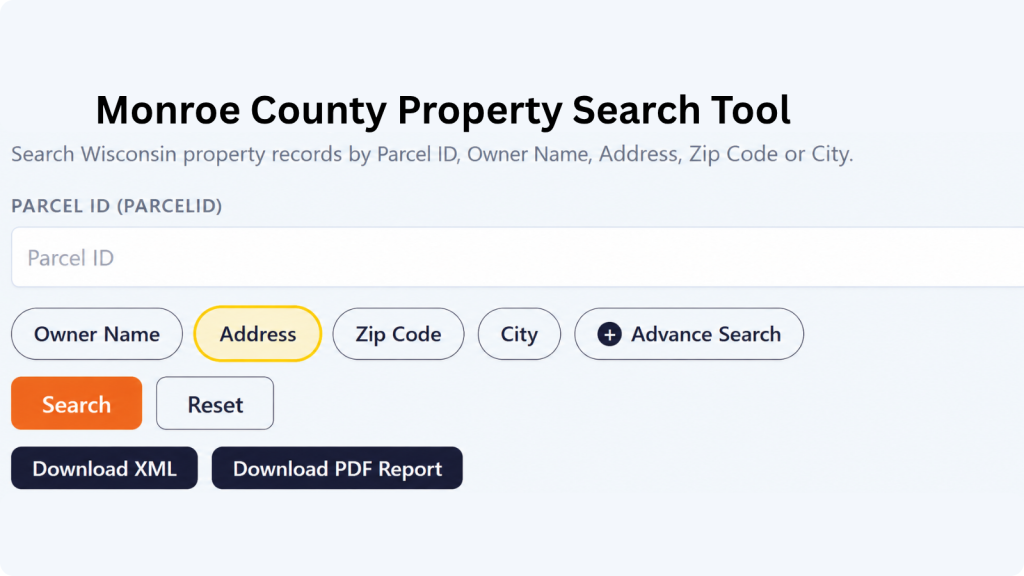
If the property address is available, select the Address option and enter the street information carefully. Include the house number and street name as they appear in the property record. If the property checker does not return the expected result, review the spelling, street abbreviations, and house number before trying again.
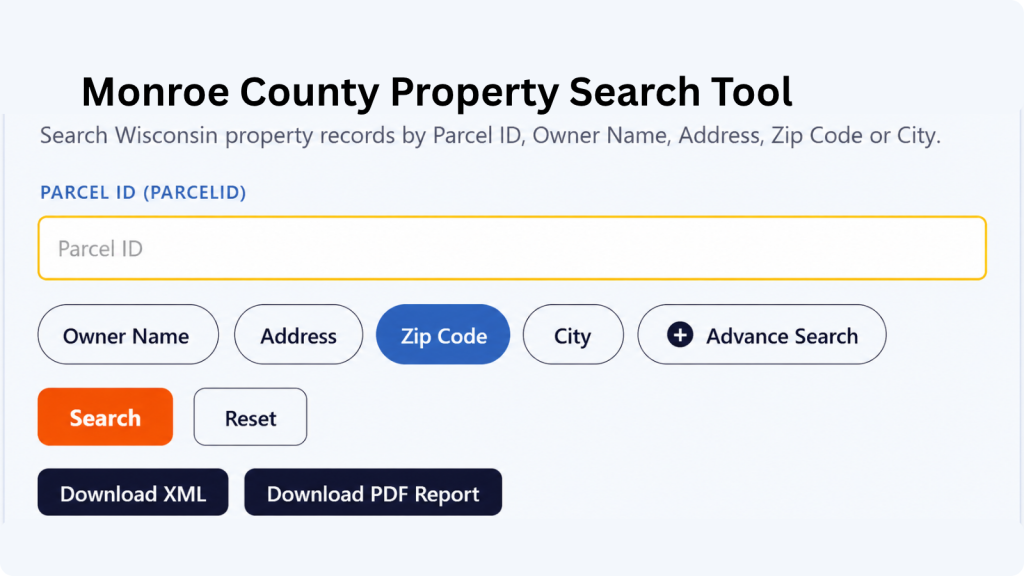
The ZIP Code option can help when you know the property’s general location but do not have its parcel number or complete address. Enter the five-digit ZIP code and review the matching properties. Since multiple parcels can share the same ZIP code, compare the displayed addresses and owner information to identify the correct property.
Choose City Name when you know where the property is located but do not have enough information for an address or owner search. Enter the applicable city name and review the available records. The Adams County property search tool can then help narrow the results until you find the property you’re looking for.
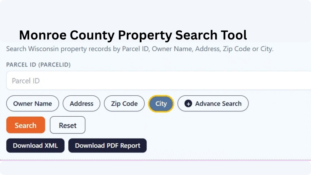
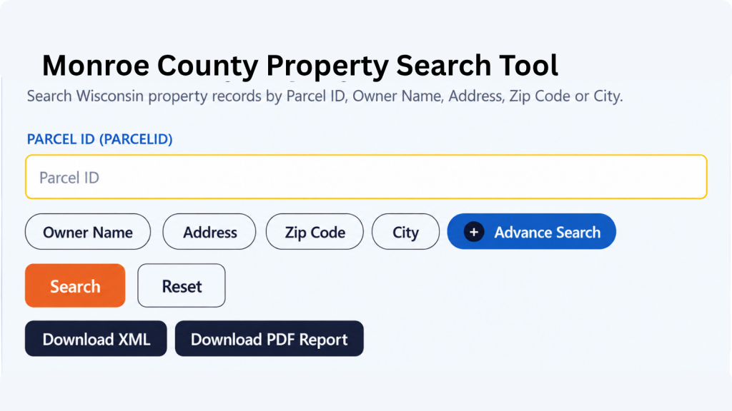
Advanced Search is useful when you have several pieces of property information and want to narrow the results. Depending on the available fields, you can use additional details to make the search more specific. Enter only information you know is correct, then review the results carefully before opening a property record.
What Information Can You Find in a Monroe County Property Record?
A property result can bring together identification, ownership, address, assessment, classification, acreage, mapping, and jurisdictional information. Monroe County also provides separate land-information resources for GIS, tax and assessment searches, deeds, survey files, and related property research.
Parcel and Tax Identification
The parcel identifier gives the property a specific reference within the property dataset. It is especially useful when several properties have similar addresses or an owner has multiple holdings. After locating the correct record, save the parcel number alongside the address and owner information so you can return to the same property without rebuilding the search.
Owner and Mailing Information
Owner information identifies the party associated with the parcel record, while mailing information can indicate where property-related correspondence is sent. These locations may differ, particularly for rental properties, businesses, trusts, or owners living elsewhere. Comparing both pieces of information can help distinguish properties with similar names or addresses.
Property Address and Location
Address information is broken into several fields, including postal address, site address, street number, street name, street type, prefix, suffix, unit type, and unit ID. The record can also include a landmark name and place name, giving you several pieces of information for identifying where the parcel is located.
ZIP Code and State Details
The property checker includes the property’s five-digit ZIP code, ZIP+4, and state information. These fields are useful when confirming the location shown in a record or narrowing down properties with the same general area. Having both ZIP and ZIP+4 information can also provide a more specific postal reference when it is available.
Assessed Property Values
The record contains several value fields, including county assessed value, land value, improvement value, and MFL value. Looking at these figures separately can help you understand how the property’s assessed amount is represented across land and improvements rather than seeing only one combined property value.
GIS and Survey Information
GIS data helps place a parcel within its surrounding geography. Monroe County’s Land Information Office provides GIS resources, LiDAR information, survey files, and public-land-survey resources. These tools can help users understand parcel relationships, roads, terrain, and other geographic characteristics without treating a digital map as a legal boundary survey
Property Classification
The database includes property class and auxiliary class fields. These classifications can help identify how a parcel is categorized within the property data. When reviewing search results, these fields provide additional context about the type or classification assigned to the property instead of relying only on its address or owner information.
Property Acreage
Several acreage measurements are available, including assessed acres, deed acres, and GIS acres. These values may represent acreage from different property or mapping sources, so they should not automatically be treated as identical measurements. Having all three fields available gives you more detail when comparing the property’s recorded size.
School District Information
The property record includes the school district name and school district number associated with the parcel. This can be useful when researching a property’s local area, especially when comparing properties that may have different school district assignments despite being relatively close to one another.
GIS Location and Record Source
For geographic reference, the record contains latitude, longitude, shape area, and shape length fields. It also includes the county name, load date, parcel source, and parcel source reference. Together, these fields provide mapping, geographic, update, and source-related information connected with the parcel record.
Communities and Municipalities Covered
Monroe County’s property landscape spans incorporated cities and villages as well as a substantial number of townships. The county’s official municipality directory lists 34 local governmental units: two cities, eight villages, and 24 towns
City of Sparta
City of Tomah
Village of Cashton
Village of Kendall
Village of Melvina
Village of Norwalk
Village of Oakdale
Village of Warrens
Village of Wilton
Village of Wyeville
Town of Adrian
Town of Angelo
Town of Byron
Town of Clifton
Town of Glendale
Town of Leon
Town of Lincoln
Town of Little Falls
Town of New Lyme
Town of Oakdale
Town of Portland
Town of Ridgeville
Town of Scott
Town of Sheldon
Town of Sparta
Town of Tomah
Town of Wellington
Town of Wells
Town of Wilton
Town of Grant
Town of Greenfield
Town of Jefferson
Town of La Grange
Town of Lafayette
Monroe County, Wisconsin: Key Facts
Sparta serves as the county seat, while Tomah is another major population center. The county stretches across about 908 square miles and sits in western Wisconsin, bordered by Jackson, Juneau, Vernon, and La Crosse counties. Its landscape includes the Black River, forested areas, farmland, and extensive rural territory
| County Detail | Monroe County | County Detail | Monroe County |
|---|---|---|---|
| County Seat | Sparta | State | Wisconsin |
| FIPS Code | 55081 | County Established | March 21, 1854 |
| 2020 Census Population | 46,274 | 2023 Population Estimate | 46,399 |
| Land Area | 900.9 sq. mi. | Total Area | About 908 sq. mi. |
| Water Area | About 7.4 sq. mi. | Population Density, 2020 | About 51.4 people/sq. mi. |
| Municipalities | 34 | Cities | 2 |
| Villages | 8 | Towns | 24 |
| Median Household Income | $69,467 (2024 ACS) | Median Owner-Occupied Home Value | $210,000 (2020–2024) |
| Homeownership Rate | 72.8% (2020–2024) | Median Gross Rent | $914 (2020–2024) |
| Households | About 18,301 (2024 ACS) | Housing Units | 20,342 (July 2025 estimate) |
| Major River | Black River | Major Highways | I-90, I-94, US 12, WI 16, WI 21, WI 27, WI 33, WI 71 |
| Geographic Region | Western Wisconsin / Driftless Area | Neighboring Wisconsin Counties | Jackson, Juneau, Vernon, and La Crosse |
| Major Federal Installation | Fort McCoy | Major Communities | Sparta and Tomah |
| County Government Location | Sparta | ||
Explore Property Records in Nearby Wisconsin Counties
Property research often extends across county boundaries, especially for rural land, neighboring communities, ownership portfolios, and properties located near major transportation corridors. These six Wisconsin counties provide useful nearby alternatives when the parcel is outside Monroe County.
Frequently Asked Questions
Where is the Monroe County property information office located?
The Monroe County Land Information Office is located at 777 S. Black River Street, Suite 2, Sparta, WI 54656. The office coordinates GIS and rural addressing and provides access to several land-information resources.
Can I search for a property in Sparta or Tomah separately?
Yes. Both Sparta and Tomah are incorporated cities, so using the city or municipality as a search criterion can help narrow results when researching properties in either community
Why might a property not appear in the search results?
A property may not appear if the information entered does not match the available record, the parcel information has changed, or the property is represented differently in the underlying data. Try checking the information and searching again.
Can I search a vacant lot using the property finder?
Yes, if the vacant parcel has a corresponding property record in the database. Vacant land may not have building-related information, but the parcel itself can still have identifying, ownership, location, assessment, or geographic information.
Can neighboring properties have different property records?
Yes. Each parcel can have its own record even when properties share a street, ZIP code, or neighborhood. Separate parcels may have different owners, classifications, acreage, assessments, and other recorded characteristics.
Can a rural Monroe County property have limited address information?
Yes. Rural properties may be easier to identify through a parcel number, owner name, municipality, or other property characteristics when a conventional street address is incomplete or unfamiliar. Monroe County’s Land Information Office also handles rural address coordination.
Can property records help me research land for sale?
They can be a useful starting point for researching land before contacting the seller or agent. Parcel information can help you identify the property and gather background information for further due diligence.
Should I rely only on a property search when buying real estate?
No. A property search is a research tool, not a substitute for professional due diligence. For a purchase decision, you may also need current documents, inspections, title work, surveys, zoning confirmation, and advice from qualified professionals.
Can I use the property search to research an old property record?
That depends on the records and historical information available in the underlying database. If you are researching an older ownership or property history, verify the information against the appropriate county records or other official documents.
What should I do if the property information looks incorrect?
First, compare the result with your property documents and check that you searched the correct parcel. If something still appears incorrect, contact the appropriate county or municipal office responsible for maintaining that particular record.