
Juneau County Wisconsin Property Records Search
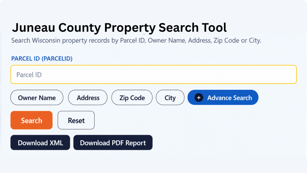
Search Juneau County property records by owner name, parcel number, property address, ZIP code, city name, or use Advanced Search to narrow results.
Total Parcels
34,162
Municipalities
29
Matched Addresses
18,464
Matched Buildings
35,243
Standardized Zoning
24,397
Related Juneau County Property Resources
Property research often involves more than finding a parcel. Use the related resources below to examine taxes, maps, zoning, transfers, and additional local information.
Property Tax Calculator
Estimate property-tax amounts using the available tax calculation resource.
Property Tax Rates
Check current Juneau County tax rates and see how local taxing jurisdictions can affect your property's annual tax bill.
Transfer Fee Calculator
Review transfer-tax information when researching a property transaction or ownership change.
County Map
Use the county map resource to better understand parcel locations, roads, communities, and surrounding land.
Zoning Information
Explore available zoning information when land use, development, or permitted property activities are part of your research.
Juneau County Land Information Office and Property Records
Juneau County’s Land Information Office supports countywide land-record modernization and GIS-related property information. It is also identified as the county’s Real Property Lister resource, making it a useful contact for parcel, mapping, and property-record questions.
- (608) 847-9446
- liojuneau@co.juneau.wi.us
- 220 E. State St., Room 110, Mauston, WI 53948.
- Monday–Friday, 8:00 AM–4:30 PM
- Records Maintained: Tax Records & Assessed Values
- Tax Services: Second Installment & Delinquent Real Estate Taxes
Juneau County Real Estate Statistics
Housing statistics provide useful context around the properties being researched. The figures below use the latest Census QuickFacts data available for the relevant measure, primarily covering 2020–2024, with building permits reported separately by year.
Home Value
Typical owner-occupied home value
Homeownership Rate
Owner-occupied housing share
Median Household Income
Median household income
Monthly Mortgage Cost
Median cost with mortgage
Median Gross Rent
Typical monthly gross rent
Building Permits
Permits issued during 2025
How to Search Juneau County Property Records
The best search approach depends on what you already know about a property. A complete street address is useful for a known location, while an owner or parcel number can be more effective when researching a specific tax record or landholding.
Enter the property owner’s name when the address is unknown or when you want to identify parcels associated with a particular owner. This is especially useful for researching multiple holdings, checking ownership records, or locating rural property with limited street-address information. Try the owner’s last name first if the system supports partial searches. Review returned parcels carefully because similar names may produce more than one result.
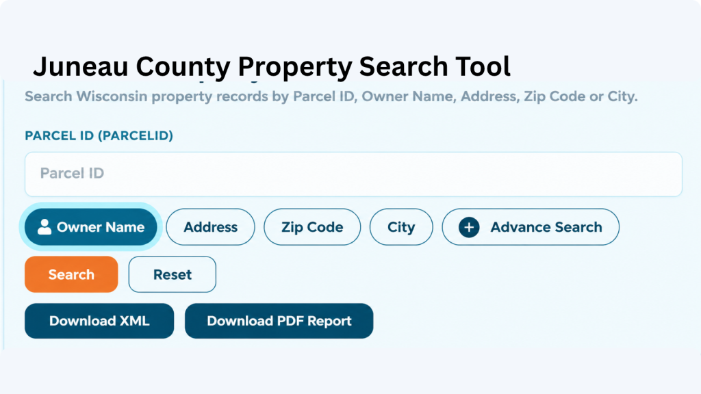
A parcel number is one of the most reliable ways to locate a specific Adams County property record. Enter the parcel number exactly as shown on a tax bill, assessment record, or other property document. Check each digit before searching because one incorrect number can return a different property or no matching result.
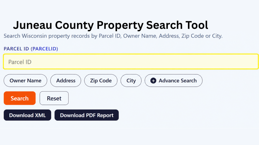
If the property address is available, select the Address option and enter the street information carefully. Include the house number and street name as they appear in the property record. If the property checker does not return the expected result, review the spelling, street abbreviations, and house number before trying again.
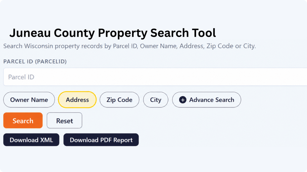
The ZIP Code option can help when you know the property’s general location but do not have its parcel number or complete address. Enter the five-digit ZIP code and review the matching properties. Since multiple parcels can share the same ZIP code, compare the displayed addresses and owner information to identify the correct property.
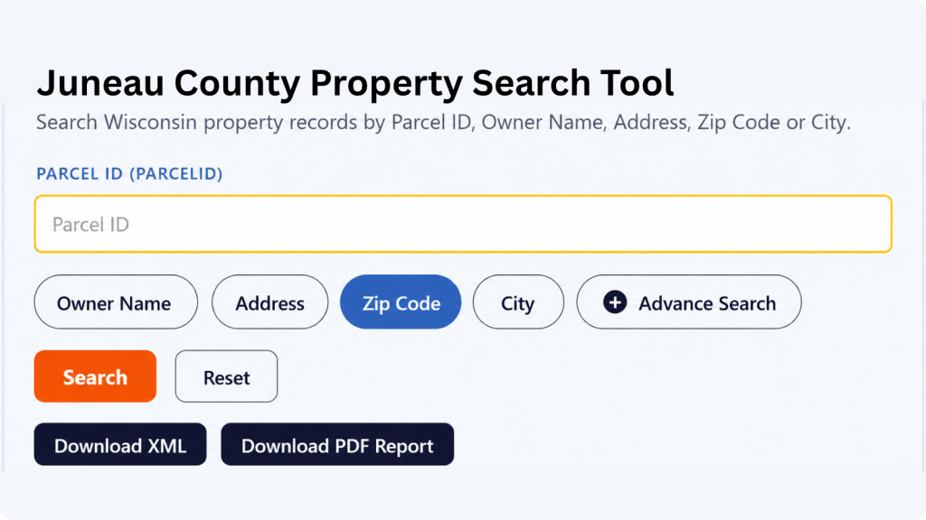
Choose City Name when you know where the property is located but do not have enough information for an address or owner search. Enter the applicable city name and review the available records. The Adams County property search tool can then help narrow the results until you find the property you’re looking for.
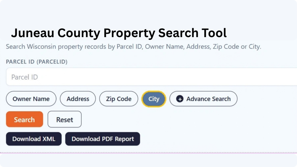
Advanced Search is useful when you have several pieces of property information and want to narrow the results. Depending on the available fields, you can use additional details to make the search more specific. Enter only information you know is correct, then review the results carefully before opening a property record.
What Information Can You Find in Juneau County Property Record?
A property-record result can bring together several types of information about a parcel, including its identification number, location, ownership, assessment values, acreage, classification, tax-roll details, school district, and geographic attributes. The exact fields shown can vary according to the underlying record.
Parcel and Tax Identification
The parcel ID provides a stable reference for distinguishing one property from another in the dataset. It can be particularly useful when two properties have similar street addresses or when a parcel has no conventional street address. Keep the parcel identifier with your research notes because it can make later property-record lookups much easier
Property Owner Information
Ownership-related fields may identify the recorded owner associated with the parcel and may also show a mailing address. Mailing information is not necessarily the same as the physical property location. For ownership research, compare the owner field with the site address and other available record details rather than assuming the mailing address describes where the property itself is located.
Property Address and Location
The site or property address identifies the physical location associated with the parcel. Street information can help distinguish properties along the same road, while unit information may help separate addresses with multiple units. Rural properties can sometimes be easier to identify by parcel number or municipality when an ordinary street-address search is less precise.
Parcel Location
Location information can connect a parcel with its municipality, place name, ZIP code, and county. This matters in a county with numerous towns, villages, and cities because similarly named communities can otherwise create confusion. Checking the municipality alongside the street address can help confirm that you have found the intended parcel.
Tax Roll Information
Tax-roll fields can indicate the assessment or reporting period associated with a record. A tax roll year should not automatically be treated as the year the property was purchased or the year a physical feature was built. When comparing records over time, pay attention to the applicable roll year so older and newer information are not mixed together.
Land and Improvement Values
Where provided, land value and improvement value separate the assessed contribution of the underlying land from buildings or other improvements. This distinction can help explain why two parcels of similar size may have different total assessed values. A parcel with substantial improvements may have a very different value composition from undeveloped or agricultural land.
Property Classification
Property class helps describe how a parcel is categorized for assessment purposes. Wisconsin assessment classifications can distinguish residential, commercial, manufacturing, agricultural, undeveloped, forest, and other property categories. Juneau County’s 2024 assessment roll reported 34,162 real-estate parcels across several classes. The classification is useful context when reviewing a parcel’s assessment record.
Property Acreage
Several acreage measurements are available, including assessed acres, deed acres, and GIS acres. These values may represent acreage from different property or mapping sources, so they should not automatically be treated as identical measurements. Having all three fields available gives you more detail when comparing the property’s recorded size.
School District Information
The property record includes the school district name and school district number associated with the parcel. This can be useful when researching a property’s local area, especially when comparing properties that may have different school district assignments despite being relatively close to one another.
GIS Location and Record Source
For geographic reference, the record contains latitude, longitude, shape area, and shape length fields. It also includes the county name, load date, parcel source, and parcel source reference. Together, these fields provide mapping, geographic, update, and source-related information connected with the parcel record.
Areas Covered by the Juneau County Property Search Tool
Property research in this area extends well beyond the county seat. The county’s planning area contains 29 municipalities: 19 towns, 6 villages, and 4 cities, giving users a broad geographic area to investigate.
City of Elroy
City of Mauston
City of New Lisbon
City of Wisconsin Dells
Village of Camp Douglas
Village of Hustler
Village of Lyndon Station
Village of Necedah
Village of Union Center
Village of Wonewoc
Town of Armenia
Town of Clearfield
Town of Cutler
Town of Finley
Town of Fountain
Town of Lisbon
Town of Lyndon
Town of Marion
Town of Necedah
Town of Orange
Town of Plymouth
Town of Seven Mile Creek
Town of Summit
Town of Wonewoc
Town of Germantown
Town of Kildare
Town of Kingston
Town of Lemonweir
Town of Lindina
Juneau County, Wisconsin: Key Facts
Located in central Wisconsin, Juneau County combines the I-90/I-94 corridor with rural townships, forested areas, lakes, rivers, and communities such as Mauston and Necedah. The facts below provide geographic and demographic context for property research.
| County Detail | Juneau County | County Detail | Juneau County |
|---|---|---|---|
| County Seat | Mauston | State | Wisconsin |
| FIPS Code | 55057 | 2025 Population Estimate | 26,649 |
| 2020 Census Population | 26,718 | Land Area | 767.08 sq. mi. |
| Total Area | About 804 sq. mi. | Population Density | 34.8 people per sq. mi. in 2020 |
| Median Age | 45.8 years, 2024 ACS 5-year | Households | 10,955 (2020–2024) |
| Housing Units | 15,096 (July 2024) | Owner-Occupied Rate | 78.1% (2020–2024) |
| Median Household Income | $67,270 (2020–2024) | Per Capita Income | $33,746 (2020–2024) |
| Median Home Value | $177,700 (2020–2024) | Median Gross Rent | $879 (2020–2024) |
| Median Monthly Owner Cost With Mortgage | $1,390 (2020–2024) | Building Permits | 160 in 2024 |
| 2024 Real Estate Parcels | 34,162 | Incorporated Municipalities | 4 cities and 6 villages |
| Town Governments | 19 | Major Interstate Corridor | I-90/I-94 |
| Major Water Features | Petenwell Lake, Castle Rock Lake, and Wisconsin River | ||
| Adjacent Counties | Wood, Adams, Columbia, Sauk, Vernon, Monroe, and Jackson | ||
Explore Property Records in Nearby Wisconsin Counties
Property research sometimes crosses a county line, particularly around shared communities, lakes, highways, and rural land. The surrounding county pages on this site can help extend a parcel search beyond Juneau County.
Frequently Asked Questions
1. How can I find a property in Juneau County without knowing the parcel number?
Start with the property address, owner’s name, ZIP code, or city name. Once a matching record appears, the parcel identifier can provide a more precise reference for later searches.
2. Can I search Juneau County property records by owner name?
Yes. An owner-name search is useful when you know the person or organization associated with a property but do not have the street address or parcel number.
3. What does a Juneau County parcel number identify?
A parcel number is an identifier associated with a specific tax parcel. It helps distinguish one property record from another, particularly when several properties have similar addresses or ownership names.
4. Are Juneau County assessment records the same as a property's market value?
No. An assessed value is an assessment figure used within the property-tax system. It should not automatically be treated as the property’s current sale price or independent market appraisal.
5. Why might the acreage shown for a parcel differ from another document?
Property datasets can contain different acreage concepts, including assessed, deed, or GIS-derived acreage. Those measurements may serve different purposes and should be compared with their source before drawing conclusions about legal land area.
6. Does the database cover rural properties outside Mauston?
The county’s property geography extends across 19 towns as well as its cities and villages, so property research is not limited to Mauston or other larger communities.
7. Can I search properties in Necedah and the surrounding Town of Necedah?
Yes. The Village of Necedah and Town of Necedah are separate municipal jurisdictions, so checking the municipality shown with a result can help you understand which local government area contains the parcel.
8. Where should I go for Juneau County GIS or land-information questions?
The Juneau County Land Information Office is located at 220 E. State St., Room 110, in Mauston. The office lists (608) 847-9446 and (608) 847-9457 as telephone numbers, with liojuneau@co.juneau.wi.us listed as an email contact.
9. Does a property record prove legal ownership?
A property-search result is useful for researching parcel and ownership information, but it should not replace recorded legal documents when ownership, title, easements, or other legal interests must be established. For those questions, consult the appropriate recorded land documents
10. Can I use a ZIP code to research multiple properties?
Yes. A ZIP-code search can narrow a broader group of properties to a particular postal area. Because ZIP codes can cross municipal or county boundaries, review the municipality and full property address before treating a result as belonging to a particular jurisdiction.