
Kenosha County Wisconsin Property Records Search
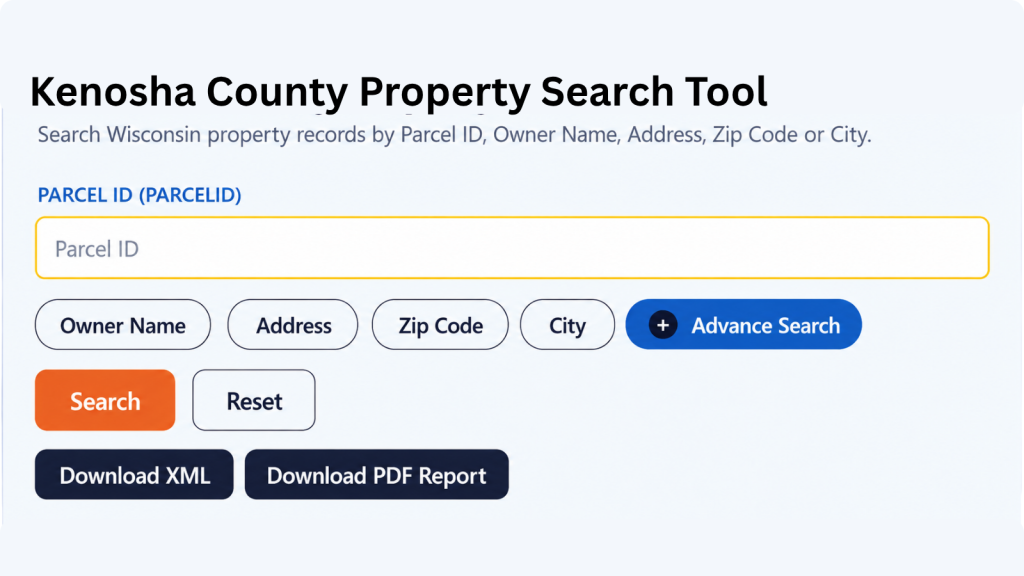
Search Kenosha County property records by Owner Name, Parcel Number, Property Address, ZIP Code, City Name, or use Advanced Search to narrow your results
Total Parcels
67,993
Municipalities
12
Matched Addresses
67,993
Matched Buildings
67,993
Standardized Zoning
| 12 |
Related Kenosha County Property Resources
Property research can involve taxes, maps, zoning, transfers, and local explanations in addition to a parcel lookup. These related resources can help you move from a basic property search to more detailed research.
Property Tax Calculator
Estimate property-tax amounts and better understand the financial side of a property record.
Property Tax Rates
Check current Kenosha County tax rates and see how local taxing jurisdictions can affect your property's annual tax bill.
Transfer Fee Calculator
Use transfer-tax information when reviewing a property sale, conveyance, or ownership change.
County Map
Review the county's geography, communities, roads, and property locations with the available mapping resource.
Zoning Information
Research zoning classifications and land-use information relevant to development and property use.
Kenosha County Property Assessment Office
The Kenosha County Land Information Office maintains property-related geographic and legal-description information used in assessment and taxation processes. Its work includes updating the real-estate roll, maintaining mapping information, and supporting property research. Assessment itself is handled through municipal assessors, so the correct assessor depends on where the parcel is located.
- 262-653-2622
- address@kenoshacountywi.gov
- City of Kenosha Assessor's Office, 625 52nd Street, Room 107, Kenosha, WI 53140; 262-653-4480
- Monday–Friday, 8:00 AM–4:30 PM
- Records Maintained: Tax Records & Assessed Values
- Tax Services: Second Installment & Delinquent Real Estate Taxes
Kenosha County Real Estate Statistics
Housing figures provide context for the properties appearing in a parcel search. The following statistics use U.S. Census Bureau QuickFacts data, primarily covering 2020–2024, with building permits reported for 2025.
Home Value
Typical owner-occupied home value
Homeownership Rate
Owner-occupied housing share
Median Household Income
Median household income
Monthly Mortgage Cost
Median cost with mortgage
Median Gross Rent
Typical monthly gross rent
Building Permits
Permits issued during 2025
How to Search Kenosha County Property Records
The most effective search depends on the information already in your hands. A tax key can provide a highly targeted lookup, while an address or municipality is more practical when beginning with a location.
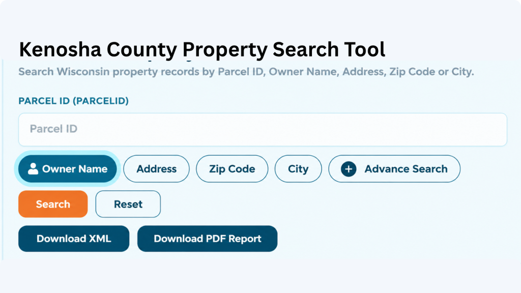
An owner-name search is useful when you know who is associated with a property but not where the parcel is located. Enter the person’s or organization’s name as accurately as possible and review multiple matches when a common surname appears. This method can help uncover parcels connected with an owner and can be particularly helpful for researching holdings without relying on a street address.
A parcel number is one of the most reliable ways to locate a specific Adams County property record. Enter the parcel number exactly as shown on a tax bill, assessment record, or other property document. Check each digit before searching because one incorrect number can return a different property or no matching result.
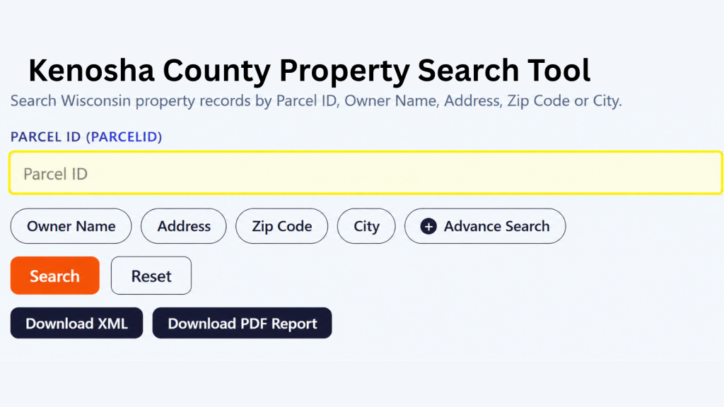
If the property address is available, select the Address option and enter the street information carefully. Include the house number and street name as they appear in the property record. If the property checker does not return the expected result, review the spelling, street abbreviations, and house number before trying again.

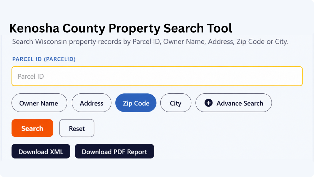
The ZIP Code option can help when you know the property’s general location but do not have its parcel number or complete address. Enter the five-digit ZIP code and review the matching properties. Since multiple parcels can share the same ZIP code, compare the displayed addresses and owner information to identify the correct property.
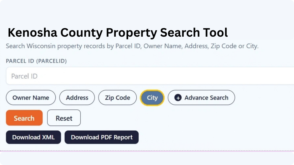
Choose City Name when you know where the property is located but do not have enough information for an address or owner search. Enter the applicable city name and review the available records. The Adams County property search tool can then help narrow the results until you find the property you’re looking for.
Advanced Search is useful when you have several pieces of property information and want to narrow the results. Depending on the available fields, you can use additional details to make the search more specific. Enter only information you know is correct, then review the results carefully before opening a property record.
What Information Can You Find in an Kenosha County Property Record?
A property-record result can bring several pieces of parcel information together, including ownership, address, assessment values, land characteristics, classification, tax-roll details, mapping information, and location context. The available fields depend on the underlying property dataset and should be interpreted according to the record’s applicable year.
Parcel and Tax Identification
The parcel ID or tax parcel identifier gives a property record its specific reference within the dataset. This is particularly useful when addresses change, properties are combined, or nearby parcels have similar street information. When keeping research notes, recording the parcel identifier alongside the address makes it easier to distinguish the property from other records.
Owner and Mailing Information
Ownership fields can identify the owner associated with the parcel and may include a mailing address. The mailing address should not automatically be treated as the property’s physical location. Someone may own a parcel in Kenosha County while receiving correspondence somewhere else, so comparing the owner information with the site address gives a more complete picture.
Property Address and Location
Address information is broken into several fields, including postal address, site address, street number, street name, street type, prefix, suffix, unit type, and unit ID. The record can also include a landmark name and place name, giving you several pieces of information for identifying where the parcel is located.
ZIP Code and State Details
The property checker includes the property’s five-digit ZIP code, ZIP+4, and state information. These fields are useful when confirming the location shown in a record or narrowing down properties with the same general area. Having both ZIP and ZIP+4 information can also provide a more specific postal reference when it is available.
Assessed Property Values
The record contains several value fields, including county assessed value, land value, improvement value, and MFL value. Looking at these figures separately can help you understand how the property’s assessed amount is represented across land and improvements rather than seeing only one combined property value.
Estimated Market and Property Tax Values
Additional financial fields include estimated fair market value, net real property tax, and gross real property tax. These figures give the property record more detail than an owner or address lookup alone. They can help you review the property’s estimated market figure alongside the tax amounts recorded for the parcel.
Property Classification
The database includes property class and auxiliary class fields. These classifications can help identify how a parcel is categorized within the property data. When reviewing search results, these fields provide additional context about the type or classification assigned to the property instead of relying only on its address or owner information.
Property Acreage
Several acreage measurements are available, including assessed acres, deed acres, and GIS acres. These values may represent acreage from different property or mapping sources, so they should not automatically be treated as identical measurements. Having all three fields available gives you more detail when comparing the property’s recorded size.
School District Information
School-district information can provide another layer of location context for residential property research. It may help users understand the local area associated with a parcel, although school boundaries and assignments should be independently confirmed when they are important to a purchase or other decision. Kenosha County also provides school-district maps through its map gallery.
GIS Location and Record Source
For geographic reference, the record contains latitude, longitude, shape area, and shape length fields. It also includes the county name, load date, parcel source, and parcel source reference. Together, these fields provide mapping, geographic, update, and source-related information connected with the parcel record.
Communities and Municipalities Covered
Kenosha County’s property geography includes the City of Kenosha, five towns, and several villages, including communities along Lake Michigan as well as more rural areas farther west. The county officially lists 12 municipal entities, with Somers operating as both a town and village.
City of Kenosha
Town of Brighton
Town of Paris
Town of Randall
Town/Village of Somers
Town of Wheatland
Village of Bristol
Village of Genoa City
Village of Paddock Lake
Village of Pleasant Prairie
Village of Salem Lakes
Village of Twin Lakes
Town of Richfield
Town of Rome
Town of Springville
Kenosha County, Wisconsin: Key Facts
Kenosha County occupies Wisconsin’s southeastern corner, with Lake Michigan forming its eastern boundary. Its location places the county between Racine County and Walworth County, while Illinois lies directly to the south. The county’s geography combines a major urban center with suburban communities, farmland, inland lakes, and a significant transportation corridor
| County Detail | Kenosha County | County Detail | Kenosha County |
|---|---|---|---|
| County Seat | Kenosha | State | Wisconsin |
| FIPS Code | 55059 | County Founded | January 30, 1850 |
| 2025 Population Estimate | 168,448 | 2020 Census Population | 169,151 |
| Land Area | 271.84 sq. mi. | Total Area | Approximately 754.0 sq. mi. |
| Population Density | 622.3 people per sq. mi. in 2020 | Households | 68,904 (2020–2024) |
| Housing Units | 74,520 (July 2025) | Owner-Occupied Rate | 66.7% (2020–2024) |
| Median Household Income | $81,239 (2020–2024) | Median Owner-Occupied Home Value | $265,500 (2020–2024) |
| Median Gross Rent | $1,219 (2020–2024) | Median Monthly Owner Cost With Mortgage | $1,695 (2020–2024) |
| Building Permits | 892 in 2025 | 2024 Real-Estate Parcel Count | 67,993 |
| County Board | 23 supervisors | Geographic Region | Southeastern Wisconsin |
| Eastern Boundary | Lake Michigan | Major Interstate | Interstate 94 |
| Major Water Feature | Lake Michigan | Major Local Transportation Routes | I-94, US 41, US 45, WI 31, WI 50, WI 83 |
| Neighboring Wisconsin Counties | Racine and Walworth | Nearby Illinois Counties | Lake and McHenry |
Nearby Wisconsin Counties
Property research often extends beyond one county, especially in southeastern Wisconsin where communities are closely connected by highways, employment centers, and regional housing markets. These nearby Wisconsin county pages can help continue a property search outside Kenosha County
Frequently Asked Questions
1. What is a tax key number in Kenosha County property research?
A tax key number is a property identifier used to help locate a specific parcel in county and municipal property systems. Kenosha County also advises property owners to provide a tax key number or property address when asking certain Planning and Development questions.
2. Can I find property tax and assessment information for a Kenosha County parcel?
Yes. Kenosha County’s Property Inquiry resource provides access to property information including tax bills, assessments, sales, and building data.
3. Does every property in Kenosha County use the same assessor?
No. Assessment responsibilities are divided among municipal assessor arrangements. The county lists separate assessor contacts for the City of Kenosha and groups of other municipalities.
4. Can I search a property if I only know the owner's name?
Yes. An owner-name search can be a useful starting point when the physical address or parcel identifier is unknown. Review all plausible matches before selecting a particular property.
5. How do I find the zoning for a Kenosha County property?
Yes. Each parcel can have its own record even when properties share a street, ZIP code, or neighborhood. Separate parcels may have different owners, classifications, acreage, assessments, and other recorded characteristics.
6. Does Kenosha County handle property addresses for every municipality?
No. The county assigns addresses for certain towns and villages, while other municipalities handle their own addressing. The county specifically identifies different responsibilities for communities such as Kenosha, Pleasant Prairie, Twin Lakes, and Paddock Lake.
7. What can Kenosha County GIS information tell me about a parcel?
GIS information can help show the spatial location of a property and relate it to other mapped features. The county GIS program maintains geographically referenced datasets and produces maps and geographic analyses
8. Are assessed values the same as current market prices?
No. An assessed value belongs to the property-tax assessment system and should not automatically be treated as a property’s current market value. For a purchase or sale decision, assessment data should be considered alongside current market evidence.
9. Can I research land surveys for a Kenosha County property?
Kenosha County maintains land-survey information, including surveys filed with the Land Information Office. Professional surveyors are required under Wisconsin law to file qualifying surveys with the office within the statutory period.
10. What if the property I am looking for is near the county line?
Check the complete address and municipality before assuming the parcel belongs to Kenosha County. Properties near Racine or Walworth County may require a search in the neighboring county’s records, while properties south of the county line may fall in Illinois.