
Fond du Lac County, Wisconsin Property Records Search
Search Fond du Lac County property records by owner name, parcel number, property address, ZIP code, city name, or advanced criteria to locate parcel, ownership, assessment, and location information
Total Parcels
43,120
Municipalities
33
Matched Addresses
54,335
Matched Buildings
76,558
Standardized Zoning
59,206
Explore More Fond du Lac County Property Tools
Property research may involve taxes, ownership transfers, mapping, and land-use questions in addition to finding a parcel. These related resources provide convenient ways to continue researching property information after a record is located.
Property Tax Calculator
Estimate property-tax amounts and explore how property values and local tax information relate to potential tax obligations.
Property Tax Rates
Check current Fond du Lac County tax rates and see how local taxing jurisdictions can affect your property's annual tax bill.
Transfer Fee Calculator
Review transfer-related calculations when researching a sale, conveyance, or change in property ownership.
County Map
Use mapping resources to put a parcel into geographic context and examine nearby roads, communities, boundaries, and land features
Zoning Information
Learn more about land-use classifications and where to verify zoning requirements for a particular parcel or municipality.
Fond du Lac County Land Information and Property Listing
Fond du Lac County’s Land Information Department oversees Real Property Listing functions, GIS projects, rural addressing, planning-related functions, and the county’s land-record modernization program. The department coordinates property information from local municipalities, while local assessors maintain detailed improvement information such as building characteristics.
- (920) 929-3135
- Land.Information@fdlco.wi.gov
- 160 S. Macy Street, 4th Floor, Fond du Lac, WI 54935
- Monday–Friday, 8:00 AM–4:30 PM
- Real Property Listing, GIS, Land Information, Planning and Development
- Tax Services: Second Installment & Delinquent Real Estate Taxes
Fond du Lac County Real Estate Statistics
Housing statistics provide a useful backdrop when reviewing individual parcels. They show the broader residential environment, including typical home values, ownership levels, housing costs, rents, household income, and recent construction activity.
Home Value
Typical owner-occupied home value
Homeownership Rate
Owner-occupied housing share
Median Household Income
Median household income
Monthly Mortgage Cost
Median cost with mortgage
Median Gross Rent
Typical monthly gross rent
Building Permits
Permits issued during 2025
How to Search Property Records
Choose a search method based on the information already available to you. A parcel number can pinpoint a particular property, while names, addresses, ZIP codes, and city information are useful starting points when the parcel identifier is unknown.
An owner-name search is useful when you know who owns the property but do not have its parcel number. Enter the owner’s name as accurately as possible and review the returned records for matching addresses and parcel identifiers. This approach can reveal multiple parcels connected to the same ownership name, so check each result carefully before selecting the property you need.
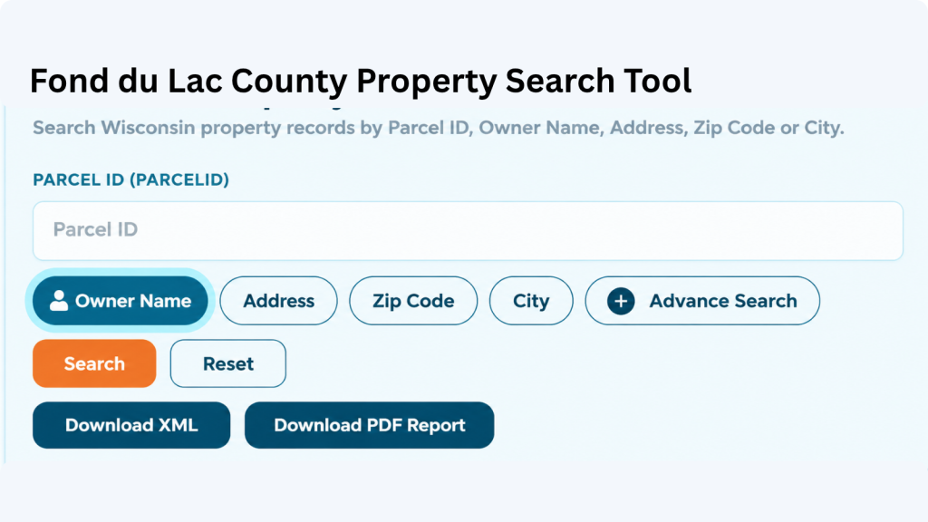
A parcel number is one of the most reliable ways to locate a specific Adams County property record. Enter the parcel number exactly as shown on a tax bill, assessment record, or other property document. Check each digit before searching because one incorrect number can return a different property or no matching result.
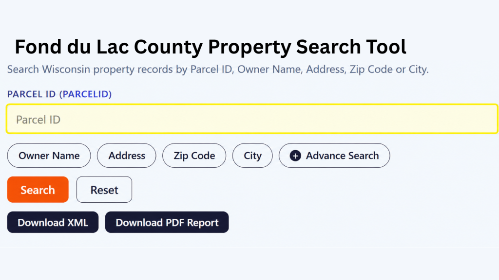
If the property address is available, select the Address option and enter the street information carefully. Include the house number and street name as they appear in the property record. If the property checker does not return the expected result, review the spelling, street abbreviations, and house number before trying again.
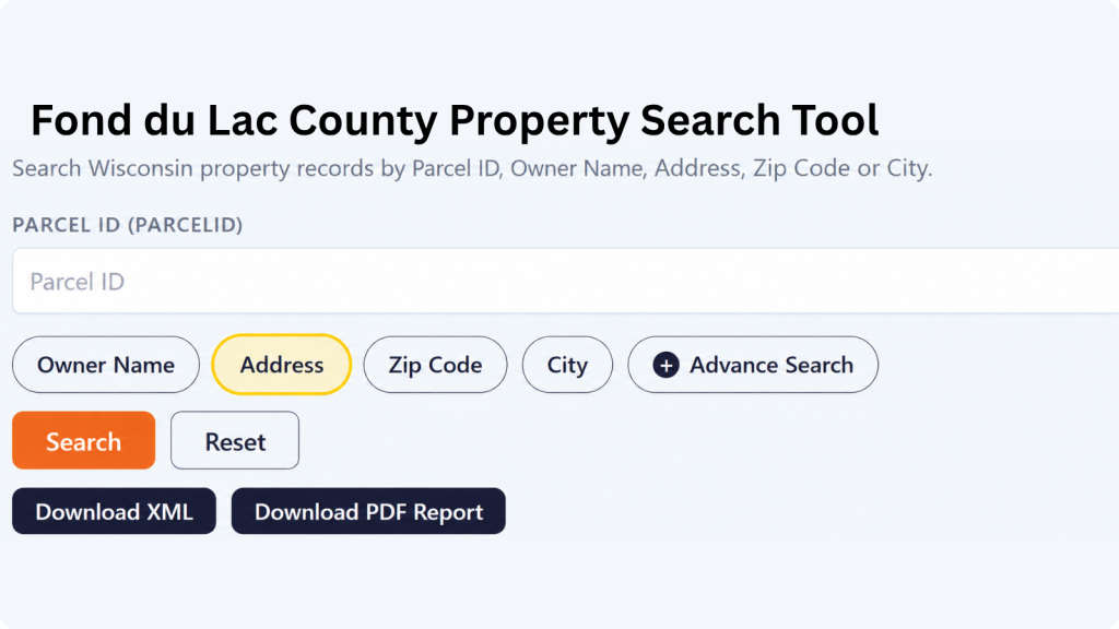
The ZIP Code option can help when you know the property’s general location but do not have its parcel number or complete address. Enter the five-digit ZIP code and review the matching properties. Since multiple parcels can share the same ZIP code, compare the displayed addresses and owner information to identify the correct property.
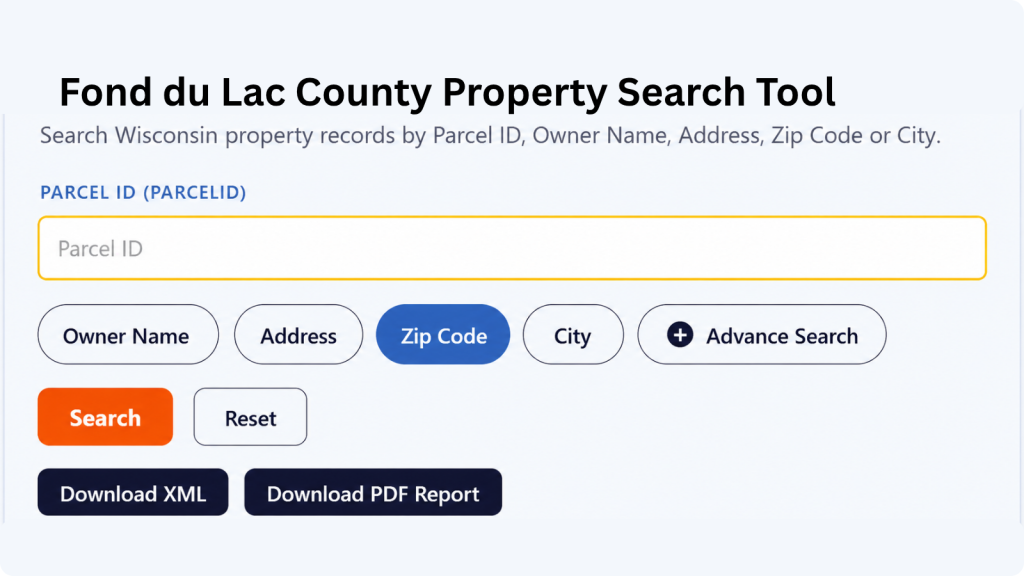
Choose City Name when you know where the property is located but do not have enough information for an address or owner search. Enter the applicable city name and review the available records. The Adams County property search tool can then help narrow the results until you find the property you’re looking for.

Advanced Search is useful when you have several pieces of property information and want to narrow the results. Depending on the available fields, you can use additional details to make the search more specific. Enter only information you know is correct, then review the results carefully before opening a property record.

What Information Can You Find in an Fond du Lac County Property Record?
A property record can answer several different questions at once: who is associated with the parcel, where it is located, how it is classified, how large it is, and what assessment information is attached to it. The available details depend on the underlying parcel and assessment data.
Parcel and Tax Identification
The parcel identification number provides a specific reference for a property within the land-record system. Fond du Lac County’s parcel dataset identifies the PIN as the Parcel Identification Number. Keeping this identifier with your notes can make later searches more precise, especially when researching properties with similar street addresses or ownership name
Property Owner Information
The record can show primary and secondary owner names, allowing you to see whether ownership information contains one or multiple listed parties. This is particularly useful when checking a property by owner name. The two owner fields can help you compare the names associated with a parcel instead of relying on a single ownership entry.
Property Address and Location
Address information is broken into several fields, including postal address, site address, street number, street name, street type, prefix, suffix, unit type, and unit ID. The record can also include a landmark name and place name, giving you several pieces of information for identifying where the parcel is located.
ZIP Code and State Details
The property checker includes the property’s five-digit ZIP code, ZIP+4, and state information. These fields are useful when confirming the location shown in a record or narrowing down properties with the same general area. Having both ZIP and ZIP+4 information can also provide a more specific postal reference when it is available.
Assessed Property Values
The record contains several value fields, including county assessed value, land value, improvement value, and MFL value. Looking at these figures separately can help you understand how the property’s assessed amount is represented across land and improvements rather than seeing only one combined property value.
Land and Improvement Values
Land value and improvement value show different components of a property’s assessed valuation. The land component relates to the parcel itself, while improvements generally represent taxable structures or other additions recorded for assessment purposes. Reviewing both figures can provide more context than looking only at a combined assessed value.
Property Classification
The database includes property class and auxiliary class fields. These classifications can help identify how a parcel is categorized within the property data. When reviewing search results, these fields provide additional context about the type or classification assigned to the property instead of relying only on its address or owner information.
Property Acreage
Several acreage measurements are available, including assessed acres, deed acres, and GIS acres. These values may represent acreage from different property or mapping sources, so they should not automatically be treated as identical measurements. Having all three fields available gives you more detail when comparing the property’s recorded size.
School District Information
The property record includes the school district name and school district number associated with the parcel. This can be useful when researching a property’s local area, especially when comparing properties that may have different school district assignments despite being relatively close to one another.
GIS Location and Record Source
For geographic reference, the record contains latitude, longitude, shape area, and shape length fields. It also includes the county name, load date, parcel source, and parcel source reference. Together, these fields provide mapping, geographic, update, and source-related information connected with the parcel record.
Municipalities and Areas Covered
The property geography extends across Fond du Lac County’s cities, villages, and town jurisdictions. The county lists 3 cities, 9 villages, and 21 towns, while its parcel dataset identifies properties across these municipal areas.
City of Fond du Lac
City of Ripon
City of Waupun
Village of Brandon
Village of Campbellsport
Village of Eden
Village of Oakfield
Village of Mount Calvary
Village of North Fond du Lac
Village of Rosendale
Village of Saint Cloud
Town of Alto
Town of Ashford
Town of Auburn
Town of Byron
Town of Forest
Town of Friendship
Town of Lamartine
Town of Marshfield
Town of Metomen
Town of Oakfield
Town of Osceola
Town of Ripon
Town of Rosendale
Town of Taycheedah
Town of Waupun
Town of Calumet
Town of Eden
Town of Eldorado
Town of Empire
Town of Fond du Lac
Fond du Lac County Information
Situated in east-central Wisconsin at the southern end of Lake Winnebago, the county combines incorporated communities with a substantial rural area. Its geographic setting, municipal structure, population, and land area provide useful context when interpreting parcel and property information.
| County Detail | Fond du Lac County | County Detail | Fond du Lac County |
|---|---|---|---|
| County Seat | Fond du Lac | State | Wisconsin |
| Total Population | 104,669 | Land Area | 719.57 sq. mi. |
| County FIPS Code | 55039 | Total ZIP Codes | 15 |
| Median Home Value | $222,800 | Homeownership Rate | 70.7% |
| Median Household Income | $74,275 | Per Capita Income | — |
| Median Gross Rent | $960 / month | Median Mortgage Cost | $1,502 / month |
| Housing Units | 49,184 | Households | 43,214 |
| Average Household Size | 2.35 persons | Population Density | 144.7 / sq. mi. |
| Persons Age 65+ | 20.8% | Building Permits | 190 in 2025 |
| County Formation | 1836 | Largest City | Fond du Lac |
Nearby Wisconsin Counties
Property research often crosses municipal boundaries, especially when a parcel is near a county line or a search involves multiple communities. Nearby county pages can provide another starting point for parcel lookups elsewhere in the surrounding Wisconsin region.
Frequently Asked Questions
Can I search a Fond du Lac County property without knowing the parcel number?
Yes. A property address, owner name, ZIP code, or city can provide another starting point. Parcel numbers are helpful for precision, but they are not the only way to locate a property record.
What does a parcel ID tell me?
A parcel ID is an identifier associated with a specific property record. It can make research more precise because it distinguishes a parcel from other properties that may have similar addresses or owner names.
Are assessment records the same as a property's market value?
Not necessarily. An assessed value is used within the property-assessment system and should not automatically be interpreted as the property’s current selling price, appraisal, or market offer.
Who maintains assessment information for properties in the county?
The Land Information Department oversees and manages local assessment data for the county’s towns, villages, and cities. Local assessors provide assessed land and improvement values, while municipalities may maintain more detailed building information
Does Fond du Lac County have countywide zoning?
No. Fond du Lac County states that it does not have countywide zoning. Each of the 21 towns controls its own zoning ordinances and has its own permit issuers, while zoning information can be viewed through the county’s GIS resources.
Can a property search help me find land outside the City of Fond du Lac?
Yes. The county includes three cities, nine villages, and 21 towns, so parcel research can extend across both incorporated communities and rural town areas.
Where can I verify a recorded deed?
For official recorded real-estate documents, the Fond du Lac County Register of Deeds is the appropriate county office. The office maintains the county’s official repository for real-estate documents and provides public access to those records
Why might the mailing address differ from the property address?
A mailing address is where property-related correspondence is sent, while the site address identifies the physical location of the parcel. They may differ for rental properties, investment properties, agricultural land, businesses, or owners who live elsewhere.
Can school district information help with property research?
It can provide useful geographic context because school-district boundaries are mapped separately from parcel boundaries. Fond du Lac County maintains GIS data for school districts, including districts such as Campbellsport, Fond du Lac, Kewaskum, Lomira, and Markesan.
What should I do if the property information looks incorrect?
First, compare the result with your property documents and check that you searched the correct parcel. If something still appears incorrect, contact the appropriate county or municipal office responsible for maintaining that particular record.